

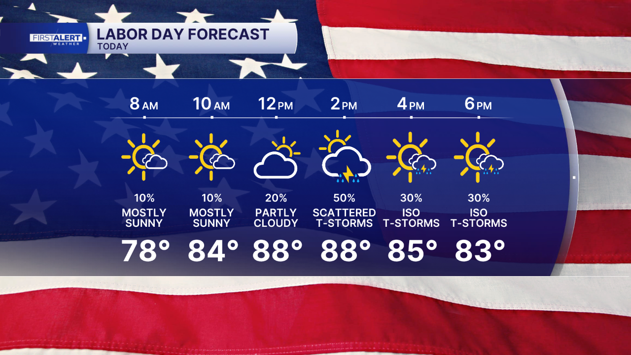


WEST PALM BEACH, Fla. — Our active weather pattern is sticking around, bringing scattered showers and thunderstorms every day to start the week. With plenty of tropical moisture moving in, expect more storm coverage today than we saw yesterday.
This morning, storms will fire up over the water and in Southwest Florida. They will gradually shift toward the East Coast, becoming most widespread during the mid-afternoon and early evening.
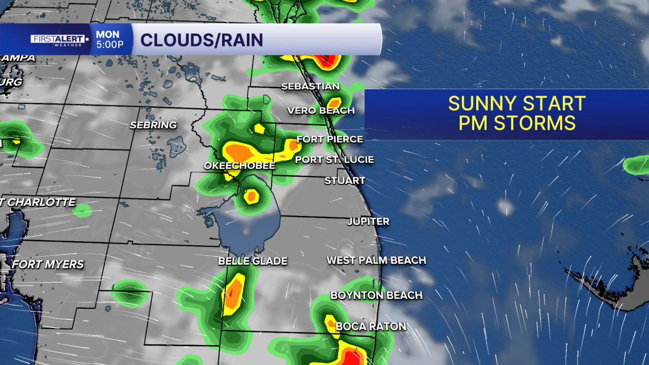
Be aware of frequent lightning, strong wind gusts, and heavy rain. This could lead to some nuisance flooding in areas with poor drainage. Otherwise, we will still see plenty of sunshine during the morning hours before the rain moves in.
MORE WEATHER: Radar | Alerts | 7-Day Forecast | Hourly Forecast
A front will remain stalled over northern Florida through Tuesday. This will shift our winds to come from the southeast. You can expect numerous showers and thunderstorms to develop across South Florida on Tuesday and starting earlier in the day.
Expect highs in the low 90s each day this week.
Have a happy and safe Labor day!
Portions of this story were assisted by artificial intelligence tools and reviewed by a WPTV journalists to ensure accuracy, clarity, and adherence to editorial standards.


