ST. LUCIE COUNTY, Fla. — The Martin County Fire Rescue is geared and ready to help with Hurricane Idalia response.
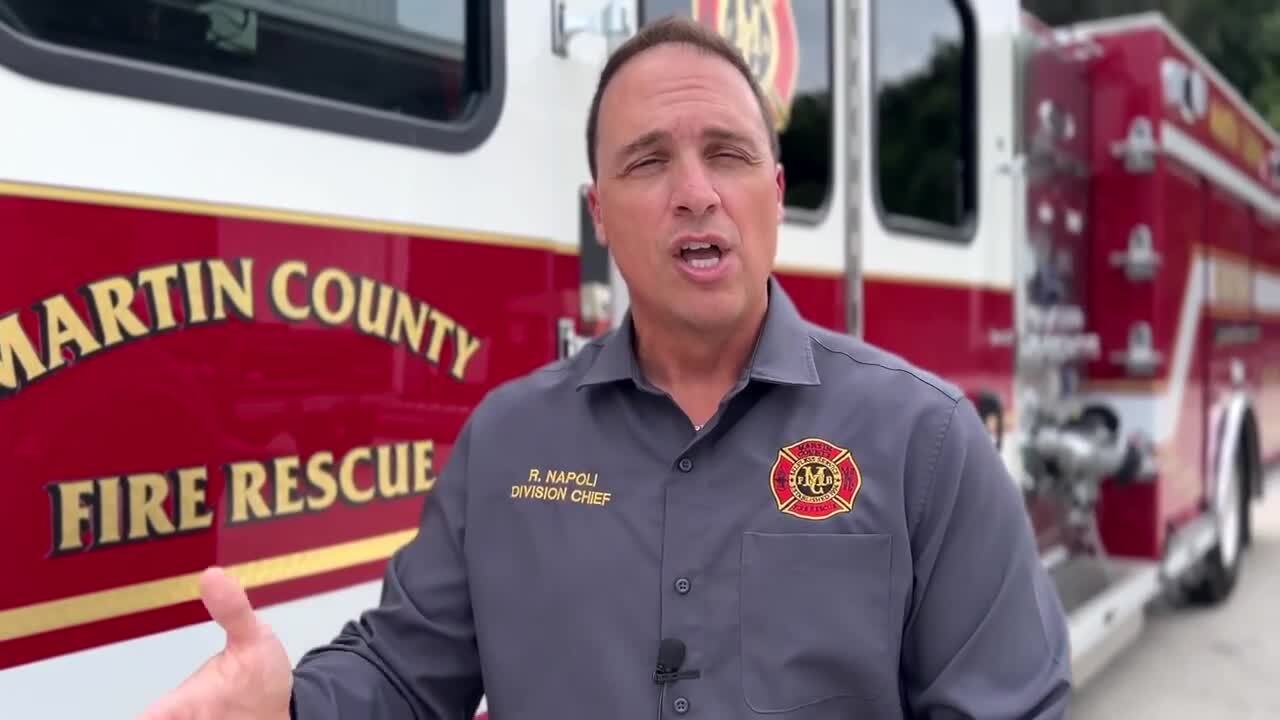
"When you told them about this deployment what did they say, were they ready?" WPTV Reporter Joel Lopez asked Division Chief of Operations Rocco Napoli with MCFR.
"Unwaveringly, every single person. Some made phone calls to check with their spouse, called right back within two minutes and said absolutely," Napoli said.

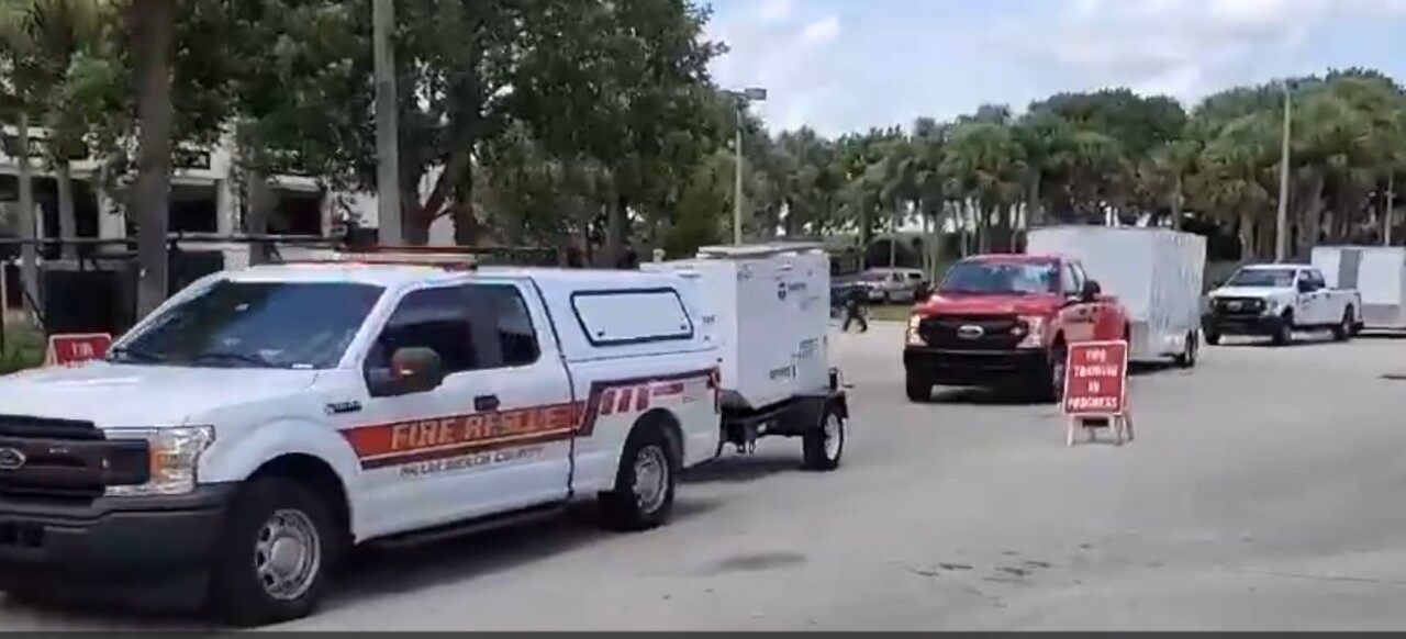
MCFR has put together what's called the Strike Team consisting of a captain, a driver and three paramedics, as well as a chase vehicle to back them up in case there's a breakdown and to store extra equipment.
"The ones that we selected for this one were selected on previous work history, tenacity, hard work ethic, people that can definitely work autonomously on their own and can take direction well and have proven to be leaders in the organization," Napoli said.

Hurricane
South Florida first responders to help with hurricane relief
Napoli said if the team is deployed, they will travel in one of Martin County's newest state-of-the-art fire trucks.
"A lot of firefighters and first responders and police and nurses, their homes were impacted as well so it's hard for them to focus on repair in their homes and damage and responding to 911 calls at the same time," Napoli said.
Hurricane Idalia made landfall near Keaton Beach on Wednesday morning as a Category 3 hurricane, with sustained wind speeds of 125 mph.
"We've had an uncharacteristically really hot summer, and it thrives on that warm water, and I felt like it was going to hit pretty hard because of the hot summer that we have had and we're still in," Napoli said.
He said crews up north are all hands-on deck and assessing damage.
They will then back track 911 calls for service.
"You could definitely have people that are trapped in their homes can't get out because there's elderly people or that are disabled and they still need assistance," Napoli said.
The Strike Team will also be sent with radios with Wi-Fi and cellular, as well as a satellite phone to maintain contact.
The fire truck is equipped with advanced life support equipment, medications for interventions and fire suppression capabilities.


