
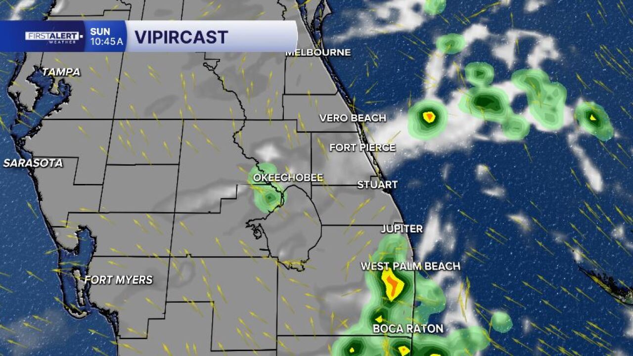

WEST PALM BEACH, Fla. — Another hot and humid day is expected across the Palm Beaches, Treasure Coast and the Lake Okeechobee region on Sunday, with afternoon temperatures climbing into the lower 90s and heat index values reaching low 100's.
After a few passing storms and rain showers this morning, scattered thunderstorms are expected to develop during the afternoon as the Atlantic sea breeze moves inland. The greatest chance for storms will be across western Palm Beach County, Okeechobee County, and inland portions of Martin, St. Lucie and Indian River counties where sea breeze boundaries collide.
Communities closer to the coast like West Palm Beach, Jupiter, Stuart, Fort Pierce and Vero Beach will have lower rain chances, but an isolated thunderstorm remains possible late this afternoon.
Any storm that do develop could produce wind gusts between 40 and 50 mph, dangerous cloud-to-ground lightning, heavy rainfall, and localized street flooding due to slow-moving cells.
The biggest weather concern for many residents will be the heat. Afternoon temperatures in the lower to middle 90s will combine with high humidity to create "feels like" temperatures between 100 and 107 degrees. Anyone spending extended time outdoors should stay hydrated, take frequent breaks, and avoid strenuous activity during the hottest part of the day.
MORE WEATHER: Radar | Alerts | 7-Day Forecast | Hourly Forecast
Looking ahead, a plume of Saharan dust begins arriving later today and stays with us into Monday.
The drier air should help reduce rain chances to start the workweek while also leading to hazier skies and hotter afternoon temperatures. By Tuesday and Wednesday, moisture increases once again as a weak frontal boundary approaches from the north, bringing higher chances for afternoon showers and thunderstorms across the region.
TROPICAL OUTLOOK
The National Hurricane Center is monitoring an area where a broad area of low pressure could develop offshore of the southeastern U.S. coast during the middle of next week. Development, if any, is expected to be slow, and the system currently has only a 20% chance of tropical development over the next seven (7) days. Regardless of development, we will continue to monitor the system for any potential impacts as it drifts westward.
-Meteorologist Skylar Spinler


