
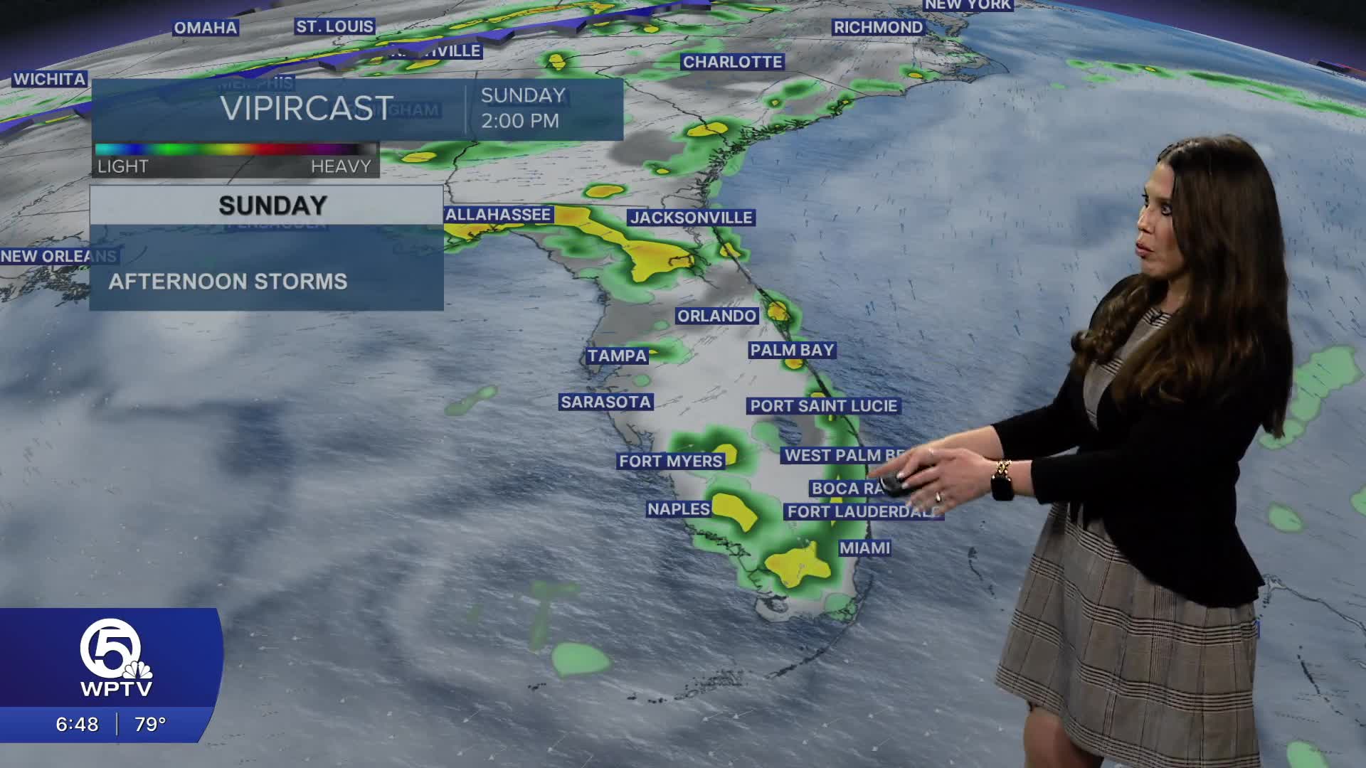


WEST PALM BEACH, Fla. — A deep tropical air mass remains in place across South Florida. Afternoon heating and sea breeze development, scattered showers and thunderstorms are expected to develop later today.
Winds remain fairly light, which means storms will move slowly. This increases the potential for heavy rainfall over localized areas and brief flooding issues where storms linger.
The morning starts warm and humid with a mix of sun and clouds.
Storm Timing
Isolated showers begin developing inland with
Heat index values climbing to 100°.
3 PM – 7 PM
Highest storm coverage
Storms expand across the Treasure Coast and inland
Palm Beach County
7 PM – 10 PM
Storms gradually weaken
Some activity may linger into the evening
Treasure Coast
(Vero Beach, Fort Pierce, Port St. Lucie, Stuart)
Storm chance: 50–70%
Greatest coverage late afternoon and evening
Heavy rainfall possible
Palm Beaches
(Jupiter, Palm Beach Gardens, West Palm Beach, Boca Raton)
Storm chance: 40–60%
Better storm chances than earlier in the week
Slow-moving storms could affect evening plans
Lake Okeechobee
Highest storm coverage
Storm chance: 60–70%
Best chance for repeated heavy downpours
MORE WEATHER: Radar | Alerts | 7-Day Forecast | Hourly Forecast
Storms gradually diminish after sunset with warm and muggy conditions continuing overnight.


