


WEST PALM BEACH, Fla. — The sky will partially clear out overnight. Lows will fall into the mid 70s.
WEATHER: Radar | Alerts | 7-Day Forecast | Hourly Forecast
Sunday starts off partly sunny and humid. Clouds will build in the afternoon and a few storms will develop in the late afternoon and evening. Highs will head to about 90, but the heat index will make it to the triple digits. We will have a breeze coming from the south/southwest with occasional gusts up to 20 mph.
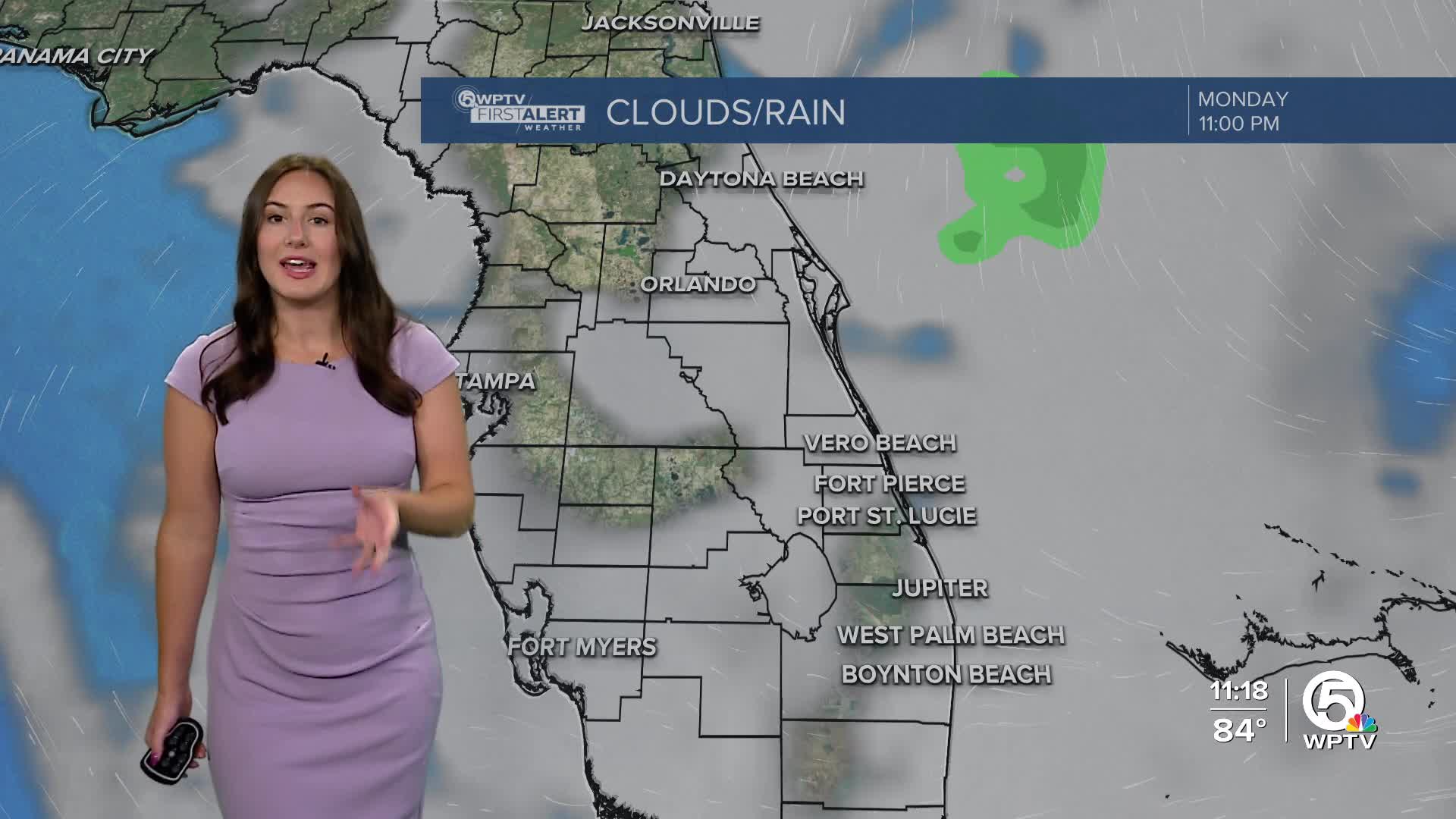
We will start the work week a bit drier! Monday will feature more sunshine and only isolated storm chances. High temperatures will be a little warmer in the lower 90s with a lot of humidity.
Rain chances look to slowly increase throughout the week. Highs will remain near average for early July.
TROPICS
Tropical Storm Chantal formed off the southeastern U.S. Saturday morning.

This system will travel north towards the Carolinas, collecting moisture with it, which is why our rain chances start to decrease for early next week.


