


WEST PALM BEACH, Fla. — Freeze warnings and cold weather advisories remain in effect for much of the region.
Frost — possibly heavy in sheltered inland spots — is likely, also into Tuesday morning. Even during the day, highs will struggle to climb out of the upper 50s to near 60, well below normal for this time of year.
MORE WEATHER: Radar | Alerts | 7-Day Forecast | Hourly Forecast
Rough marine conditions continue in the Atlantic through Tuesday. Atlantic beaches face a high risk of rip currents early this week, and a high surf advisory is in effect for the Palm Beaches through early Tuesday. If you’re heading out on the water or to the beach, it's best to use extra caution—or consider staying ashore until conditions improve.
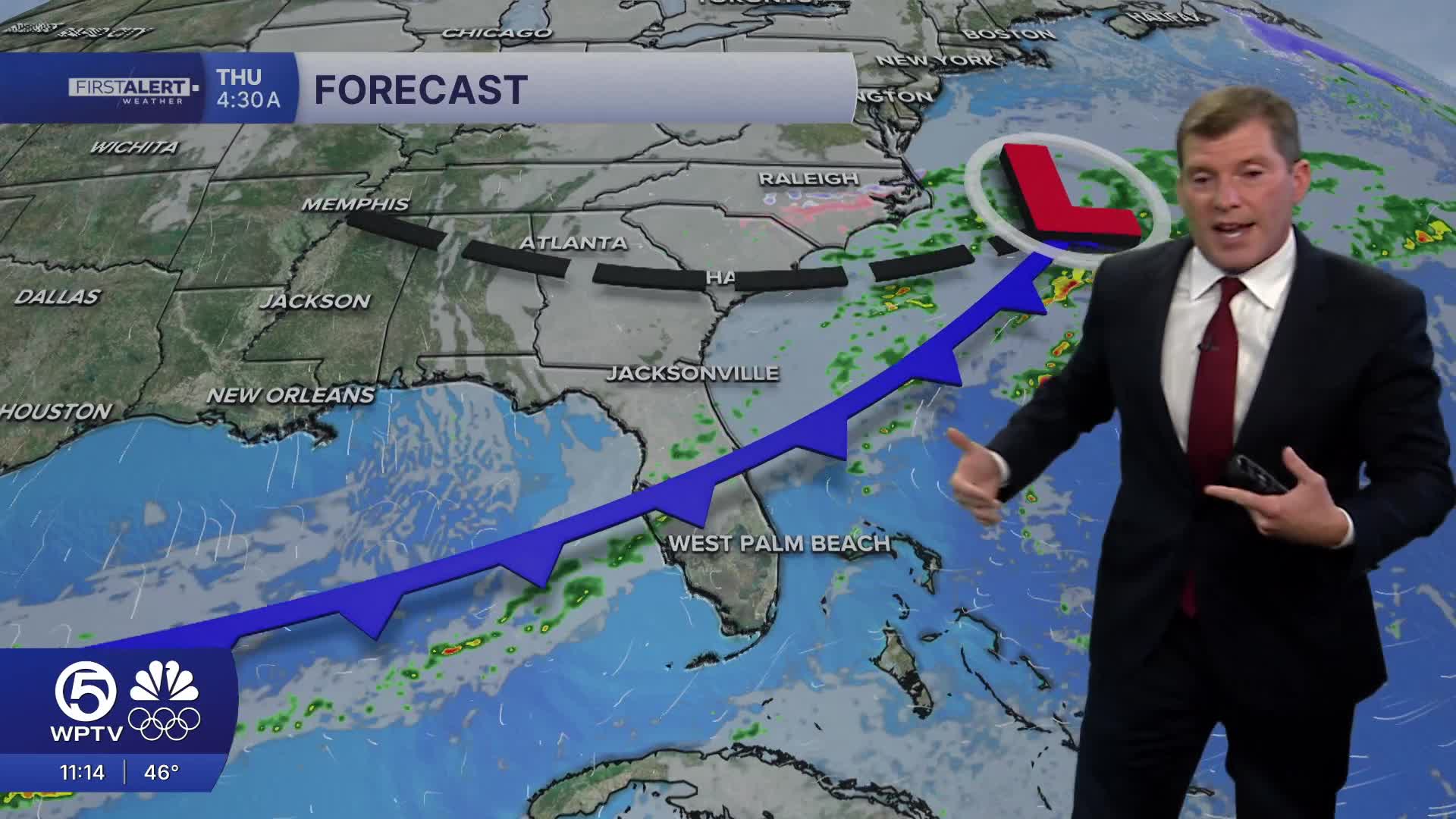
There is some good news on the horizon. By Tuesday, winds will shift to the northeast, helping temperatures slowly moderate and pushing highs into the upper 60s to near 70, though still below normal. A brief warm-up follows midweek before another front brings cooler—but not as extreme—air late Thursday into Friday.
The rest of the week looks dry and cool, with temperatures returning closer to normal by next weekend. Friday morning may be the last chance for cold weather advisories, mainly across inland Southwest Florida.
We will get back to near average temps next week.
**Portions of this story were assisted by artificial intelligence tools and reviewed by a WPTV journalist to ensure accuracy, clarity and adherence to editorial standards.


