



WEST PALM BEACH, Fla. — South Florida is in for a weekend of changing weather, with heavy rainfall and flooding concerns Saturday followed by strong winds and dangerous coastal conditions Sunday.
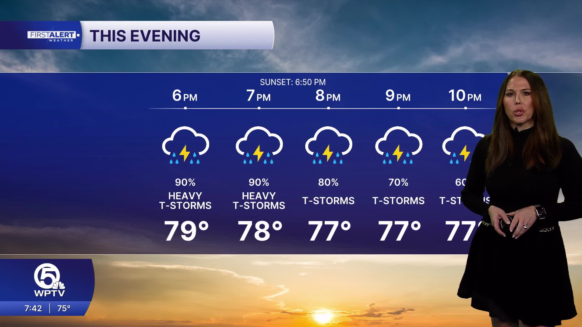
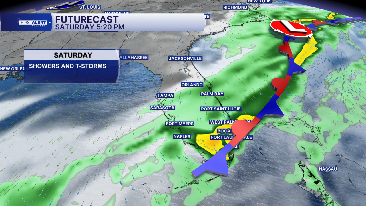
A cold front approaching South Florida will help trigger widespread showers and thunderstorms throughout Saturday, especially during the afternoon and evening.
Some locations could receive 1 to 3 inches of rainfall, with isolated totals potentially reaching 6 inches. The greatest concern for localized flooding includes coastal Palm Beach County and portions of the Treasure Coast, particularly Martin and southern St. Lucie counties.
Temperatures will remain warm and humid, with highs reaching the lower to middle 80s along the Treasure Coast and middle to upper 80s across the Palm Beaches.
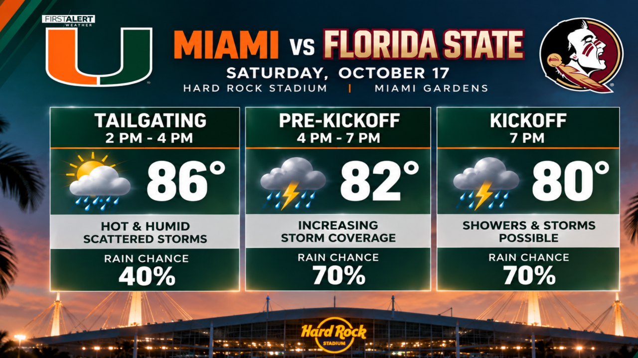
Heavy downpours could reduce visibility on area roadways, while lightning may interrupt outdoor activities, including Saturday evening's college football game at Hard Rock Stadium.
Sunday: Strong winds and dangerous beach conditions
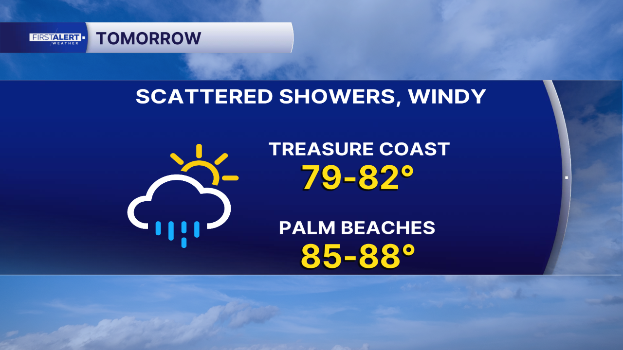
As the cold front moves through, the weather pattern will shift. Rain chances will decrease, but northeast winds will strengthen, with sustained winds around 15 to 25 mph and gusts reaching 30 to 40 mph near the coast. Temperatures will be slightly cooler, with afternoon highs generally in the lower 80s.
The strongest impacts will be felt along the coastline, where building surf, dangerous rip currents and possible beach erosion will make swimming hazardous. Beachgoers should avoid entering the ocean when dangerous surf and rip current conditions are present.
Boating conditions deteriorate
Boaters should prepare for a significant increase in winds and seas beginning Saturday evening.
Across Palm Beach County's Atlantic waters, seas could build from around 2 feet Saturday to 9–13 feet Sunday and Monday. Conditions may become even more dangerous along the Treasure Coast, where seas could reach 13–15 feet, with occasional waves approaching 19 feet.
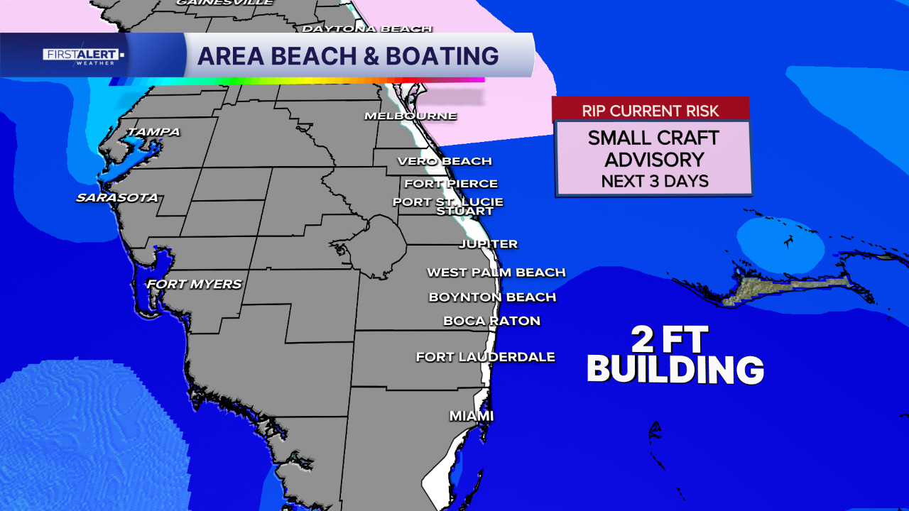
Small Craft Advisories are scheduled to begin Saturday afternoon and evening across area coastal waters. Hazardous boating conditions are expected to continue into Tuesday, even as winds gradually weaken.
MORE WEATHER: Radar | Alerts | 7-Day Forecast | Hourly Forecast
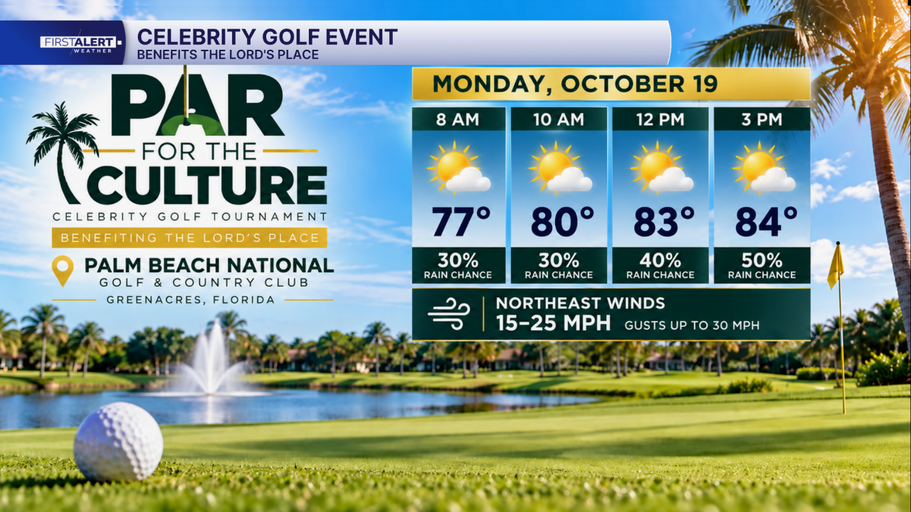
Monday's forecast will be especially important for golfers and spectators attending the Par for the Culture Celebrity Golf Tournament at Palm Beach National Golf & Country Club in Greenacres.
The event, benefiting The Lord's Place, brings together celebrities, athletes and community supporters to raise awareness and support for individuals experiencing homelessness in Palm Beach County.
I will join Miami Dolphins quarterback Malik Willis as a host of the event.
As for the forecast, golfers can expect temperatures in the lower to middle 80s, with a mix of clouds and sunshine and the possibility of a few passing showers.
The biggest weather challenge will be the wind. Northeast winds around 15 to 20 mph, with gusts potentially reaching 25 to 30 mph, could make for some interesting shots on the course.
While Monday looks considerably less rainy than Saturday, participants should prepare for breezy conditions throughout the tournament.
The event takes place Monday, October 19, with proceeds benefiting The Lord's Place and its efforts to help people experiencing homelessness regain stability and independence.


