

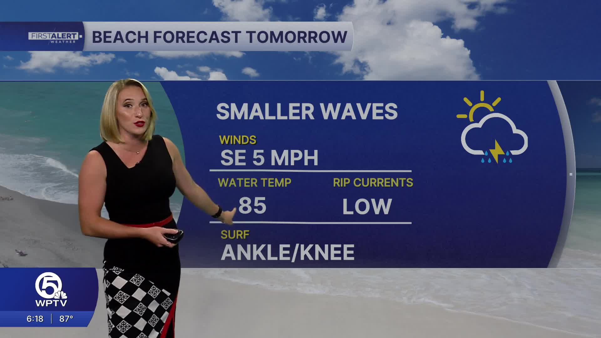


WEST PALM BEACH, Fla. — More sun Monday with hot and humid conditions, but calmer wind and smaller ocean waves. The ocean looks inviting for a nice way to cool off from the heat, with milder water temperatures around 85 degrees at Lake Worth Pier. Then isolated showers along the coast midday will travel inland in the afternoon and become scattered storms with an east/onshore wind. Only a 40% chance of rain for the Palm Beaches and Treasure Coast on Monday.
Soggier weather arrives midweek with rounds of storms and more clouds. Plus, a marginal risk for flooding Tuesday, Wednesday and Thursday under any areas that see repetitive downpours. Rain chances will be 80% on Tuesday and Wednesday, 70% Thursday as drier air late day edges in from the east.
An ocean swell will bring bigger waves Wednesday and Thursday, around 3-6 feet, with a high risk of rip currents, but not much wind chop which is great for surfers. The wind whips up for Friday and Saturday, creating more wind chop, with waves around 2-4 feet through the weekend.
Here's the latest forecast video from the Sunday 6pm show on NBC5 at WPTV:
WATCH [First Alert Weather forecast for Evening of Sunday, Oct. 4, 2026]
MORE WEATHER: Radar | Alerts | 7-Day Forecast | Hourly Forecast


