


WEST PALM BEACH, Fla. — An approaching cold front to the north will slam on the brakes just north of the WPTV television market this week. Places like Gainesville, Tallahassee, Jacksonville and Orlando will enjoy fall-like humidity levels for a couple of days. But that should be the extent of the southern push of dry air. Not much relief expected for south Florida.
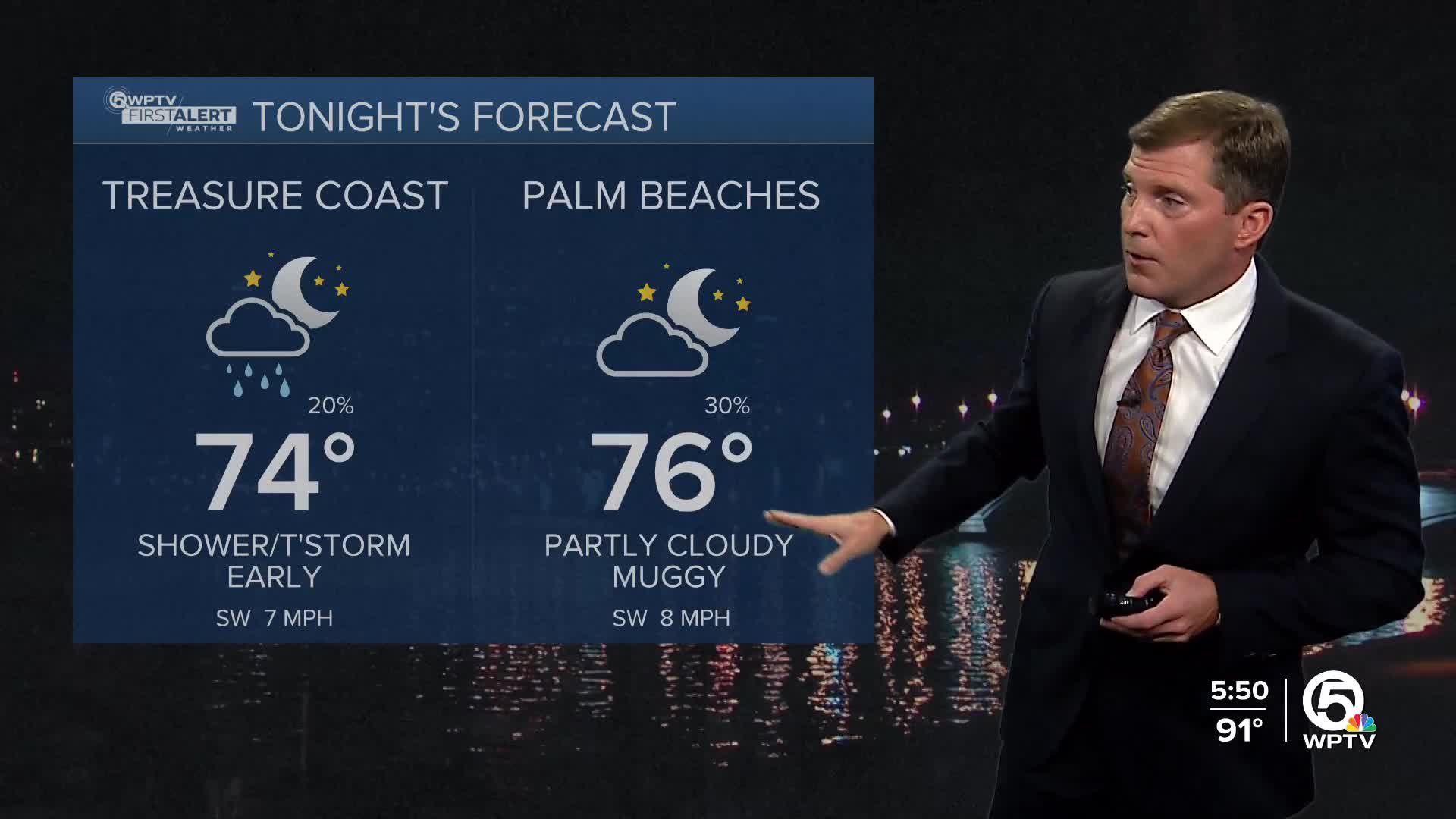
Thunderstorm chances on Tuesday and Wednesday look spotty, but a couple areas could get wet during the afternoon. Otherwise, it's hot and humid with highs in the low 90s, heat indices between 100 and 105!
MORE WEATHER: Radar | Alerts | 7-Day Forecast | Hourly Forecast
Not much change by the end of the week. It looks like typical south Florida weather with highs in the low 90s through the end of the week and a pop up shower or thunderstorm.
Rip currents remain high for our beaches through Tuesday morning.


