
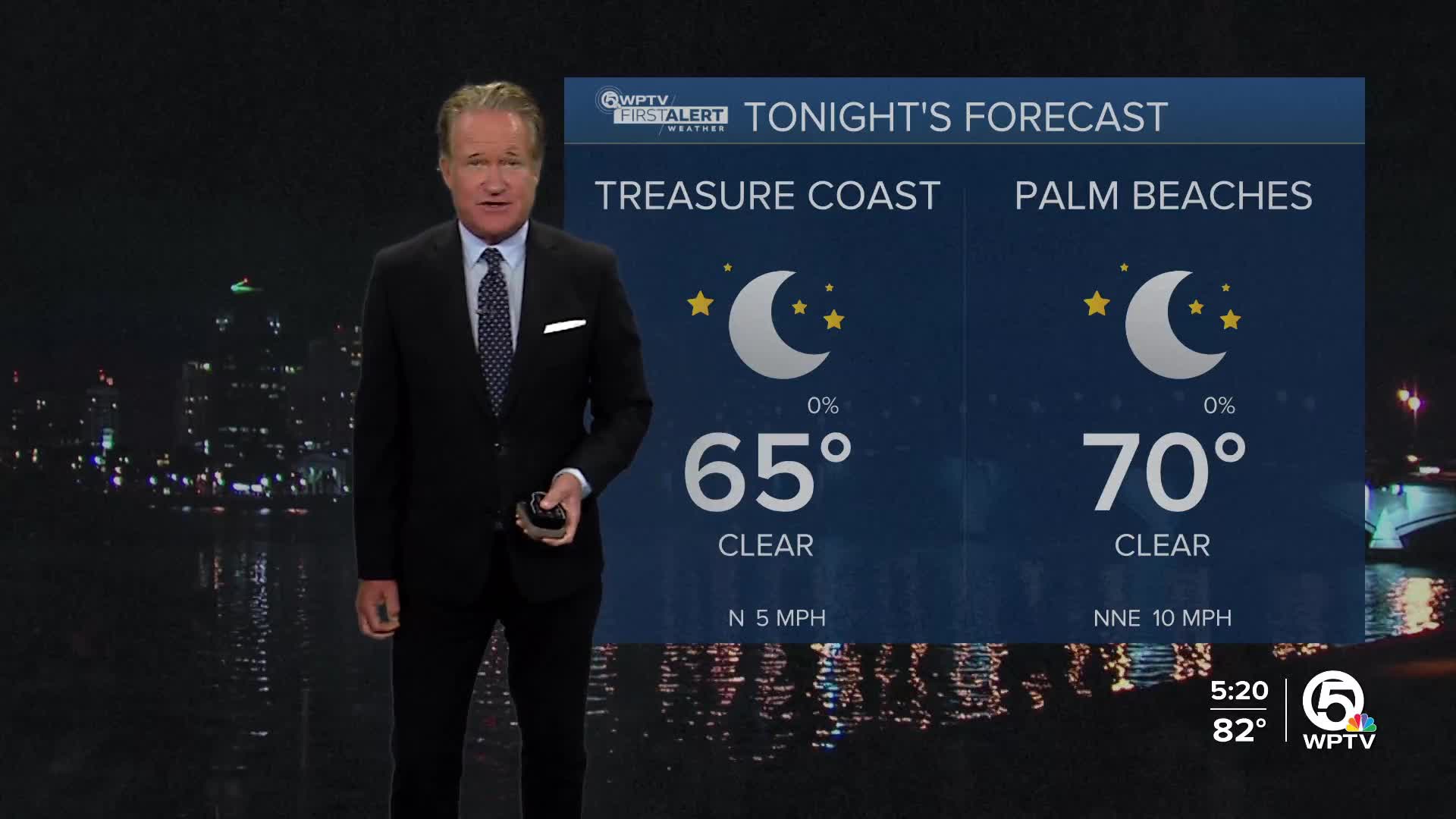


Weather Summary
We're moving into a much more comfortable, dryer weather pattern here in south Florida in the wake of yesterday's cold front. Other than a spotty shower chance on Wednesday, there shouldn't really be much to talk about. The big picture across the country shows two areas of low pressure off the Mid Atlantic coast. These two areas of low pressure will phase later in the week. As that storm pulls away from the coast it will pull another cold front south through the area. This front will reinforce the dryer air just in time for the weekend. Spotty showers are possible again by the beginning of next week.
Boating and Beach
The water could be a little bumpy at times for the boaters with seas of 2 to 5 feet. It may also be on the breezy side at times with NNE winds of 10-15 knots. Overall though, not too bad out there! For the beach goers, you'll enjoy a lot of sunshine, but be careful heading into the water. There is a very high risk of rip currents through Wednesday. Please make sure you're only swimming on guarded beaches.
MORE WEATHER: Radar | Alerts | 7-Day Forecast | Hourly Forecast
7 Day Forecast
Tuesday: Mostly sunny and pleasant. High 86.
Wednesday: Partly sunny. A spotty afternoon shower is possible. High 84.
Thursday: Mostly sunny. A spotty shower is possible. High 84.
Friday: Sunny and pleasant! High 83.
Saturday: Another beautiful day! High 85.
Sunday: Partly sunny, warmer. A spotty shower is possible. High 86.
Monday: Sun and clouds with a passing shower. High 87.
Portions of this story were assisted by artificial intelligence tools and reviewed by a WPTV journalists to ensure accuracy, clarity, and adherence to editorial standards.


