


WEST PALM BEACH, Fla. — As we head into the weekend, expect hazardous marine and beach conditions to stick around due to breezy and gusty winds.
While the weather will generally stay dry, a few isolated showers are possible, particularly near Lake Okeechobee.
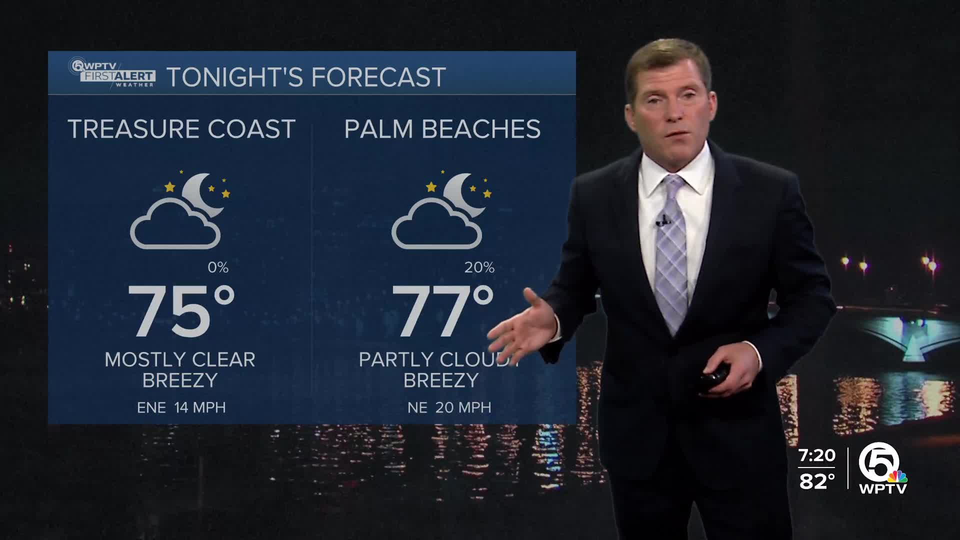
Today, a weak boundary is slowly traveling south across South Florida, establishing a high-pressure system that is set to keep those winds between 15 to 20 knots, with occasional gusts hitting up to 25 knots. Temperatures will be warm, with highs in the mid to upper 80s during the day and lows dropping to the mid-60s to mid-70s at night.

Looking further into the weekend, the high pressure will maintain those fresh, breezy northeasterly winds. Low-level moisture will begin to drift back into the region, especially over the Atlantic waters and the East Coast, which might bring some isolated showers and even a few thunderstorms each afternoon.
By early next week, the high-pressure system is expected to shift eastward as a system develops in the central U.S., allowing for a return of deeper moisture and an uptick in shower chances.

As we head towards late next week, a stronger cold front could cool things down and bring in drier air. For now, enjoy those upper 80s this weekend while staying aware of those breezy beach conditions!
**Portions of this story were assisted by artificial intelligence tools and reviewed by a WPTV journalist to ensure accuracy, clarity, and adherence to editorial standards.


