


Weather Summary
After a comfortable few days here in south Florida, the humidity made a big comeback on Monday. Heat index values actually climbed up into the 90s again. Unfortunately, for those that do not like the heat and humidity and are looking for a more fall feel, you'll have to wait a few more days. A cold front will push through late in the day on Thursday and even though temperatures will still be pretty warm behind this front, the humidity will once again drop. This will set the stage for a fairly comfortable weekend.
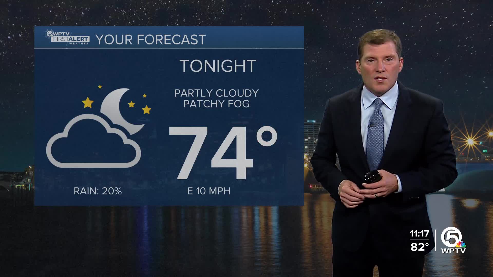
In the meantime, there will be some patchy fog out there early Tuesday morning so keep an eye out for that. Especially the very rural areas west of the Florida turnpike. There may also be a spotty shower during the afternoon. In large part though the next few days look pretty quiet.
Beach & Boating
Still be a little bumpy for the boaters, but much easier to handle compared to last week. Expect an east wind of 5-10 knots over the next few days and seas of 2 to 4 feet. For beach goers make sure you're only swimming on guarded beached. A very high risk of rip currents remains in effect through Tuesday morning.
7 Day Forecast
Tuesday: Mostly sunny and warm with a brief passing shower. High 86.
Wednesday: Mostly sunny, warm and humid. High 86.
Thursday: Mostly sunny, breezy and warm. The humidity should begin to drop late in the day, closer to sunset. High 85.
Friday: Sunny and breezy, but less humid. High 84.
Saturday: Sun and clouds, pleasant. A brief shower is possible in spots. High 84.
Sunday: Partly sunny with a few showers developing. High 84.
Monday: Partly sunny with a shower around. High 83.
MORE WEATHER: Radar | Alerts | 7-Day Forecast | Hourly Forecast


