


WEST PALM BEACH, Fla. — After days of heavy rain and flooding across parts of Central and South Florida, a big change is on the way, one that finally brings a taste of fall.
MORE WEATHER: Radar | Alerts | 7-Day Forecast | Hourly Forecast
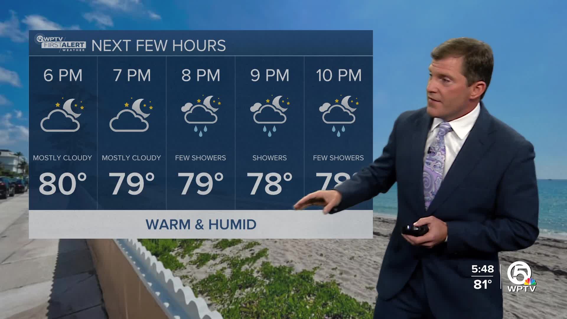
A cold front is expected to slide through South Florida later today. It will be a warm afternoon and humid with highs in the mid to upper 80s with plenty of sunshine. There is the slightest chance of a few showers this morning, but most of the rain will be wrapping up as dry air starts to move in.
There will be a noticeable difference waking up on Wednesday morning with lows in the 60s. Highs on Wednesday will be in the upper 70s to lower 80s under sunny skies
A reinforcing front will usher in even more autumn weather for the end of the week.
Thursday through Saturday will feature highs in the upper 70s and morning lows in the 50s to near 60. It will turn breezy on Thursday with a northerly wind.
While we will not deal with any direct impact from Hurricane Melissa, we will see some indirect impacts along our waters.
Boaters should be prepared for rougher seas and gusty winds through the second half of the week. Northerly winds will strengthen to 20–25 knots at times, with seas building to 7–8 feet offshore, especially north of the Treasure Coast and through the Gulf Stream.
A high rip current risk continues, particularly for the Palm Beaches, where hazardous conditions are expected through midweek.


