
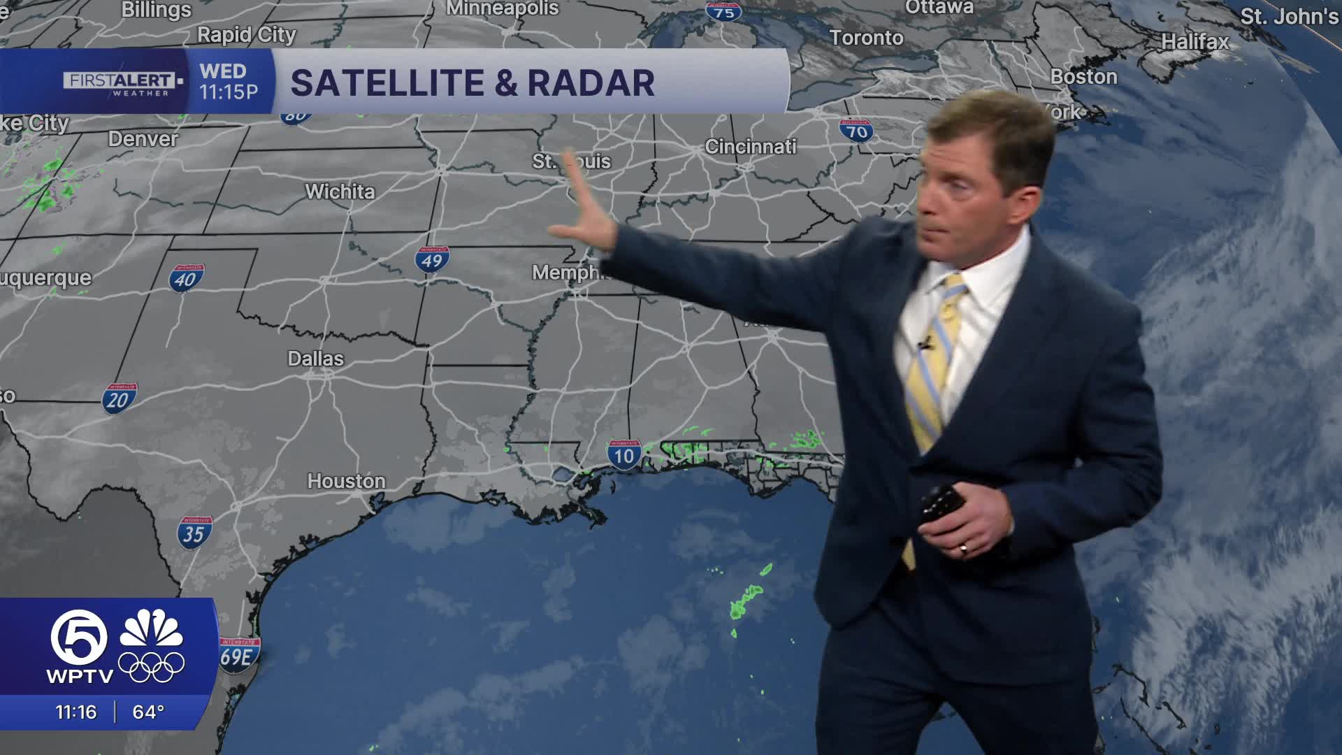


WEST PALM BEACH, Fla. — Clouds have increased throughout the day today, but are expected to clear out again tonight.
Overnight lows will drop to the lower 50s inland and the upper 50s along the East Coast. Patchy fog could develop early in the early morning, especially near Lake Okeechobee and interior areas, reducing visibility for commuters.
Thursday's forecast will be partly sunny with the chance for a stray shower late in the day.
A weak front will slide south into the region late Thursday into Friday, but it’s expected to lose steam before it arrives. That means rain chances will stay pretty slim, mainly to our north and over the Atlantic waters.
MORE WEATHER: Radar | Alerts | 7-Day Forecast | Hourly Forecast
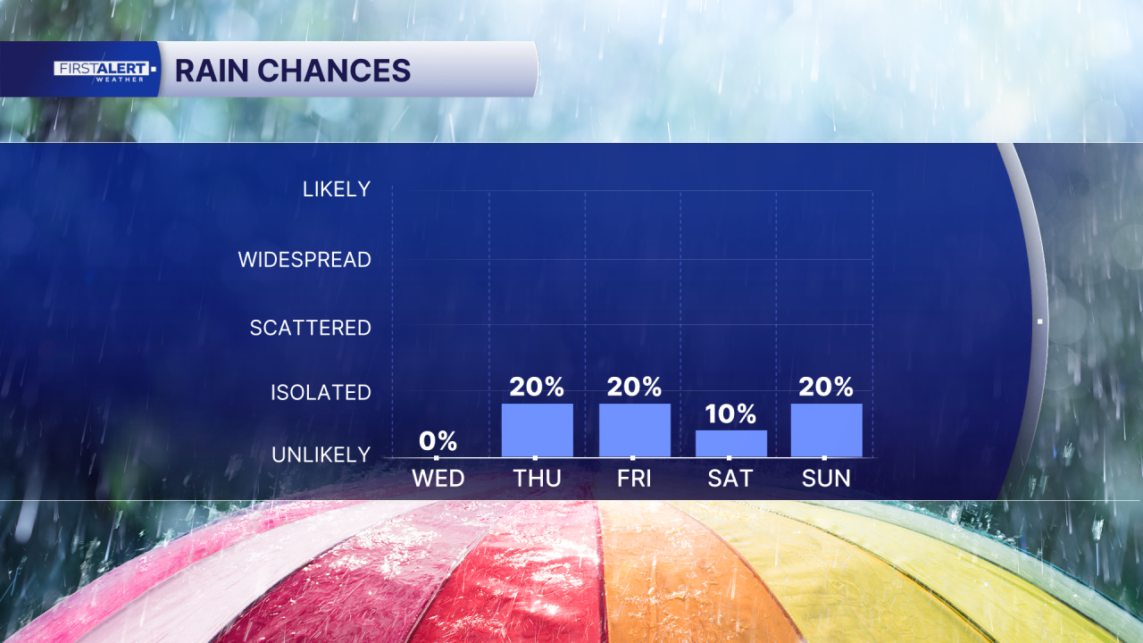
Looking ahead to the weekend and early next week, another, slightly stronger system is expected to move across the eastern United States and drag a second front through South Florida Monday morning. This one could bring a better chance of scattered showers, but moisture still looks limited, so rainfall totals should stay light — generally under an inch for most spots.
Temperatures will remain steady throughout the next several days staying in the upper 70s to low 80s during the day and cooling into the 50s and low 60s at night.
A high rip current risk continues for Palm Beach County beaches, so swimmers should use extra caution in the ocean.
**Portions of this story were assisted by artificial intelligence tools and reviewed by a WPTV journalist to ensure accuracy, clarity, and adherence to editorial standards.


