


WEST PALM BEACH, Fla. — We're seeing some changes in the weather this week. Here's what you need to know for the rest of the week and the weekend's weather:
1. Rip current alert!
If you're planning to hit the beaches today, be cautious! There’s a high risk of rip currents along the Palm Beaches, which will stretch to all Atlantic Coast beaches as the week goes on. Make sure to swim only in designated areas and heed any warnings from lifeguards.
MORE WEATHER: Radar | Alerts | 7-Day Forecast | Hourly Forecast
2. Showers are possible
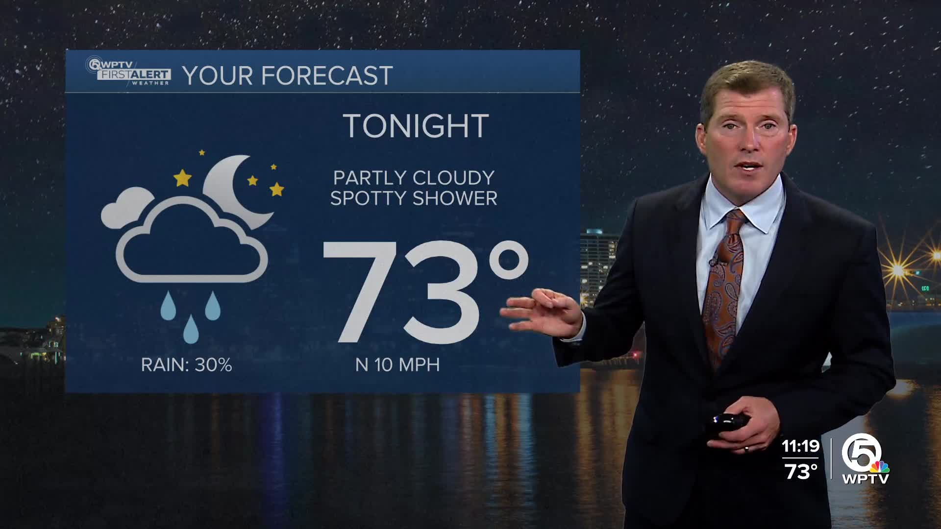
Expect a few scattered showers, mainly affecting the eastern part of the region, this afternoon through Thursday. A weak front will slide through South Florida, bringing a chance of isolated rain, especially around the Lake Okeechobee area and Palm Beach County. While most spots will stay dry, don’t be surprised if you get a quick downpour!

3. Breezy conditions
A breezy north to northeast wind will continue throughout the week, particularly along the east coast. This should feel refreshing, but it’s also a reminder to stay vigilant at sea.

What’s ahead?
Thursday: As the front moves through, expect warm temperatures in the mid to upper 80s, with a good chance for light showers.
Weekend Forecast: Heading into Friday and Saturday, a large area of high pressure will build, creating mainly dry conditions. However, some isolated showers could pop up in the afternoons.
Next week's uncertainty: Things might get a little tricky next Sunday and Monday, as a mid-level trough approaches, potentially bringing in more rain and thunderstorms. We'll have to keep an eye on this situation to see how it develops.
*Portions of this story were assisted by artificial intelligence tools and reviewed by a WPTV journalist to ensure accuracy, clarity, and adherence to editorial standards.


