
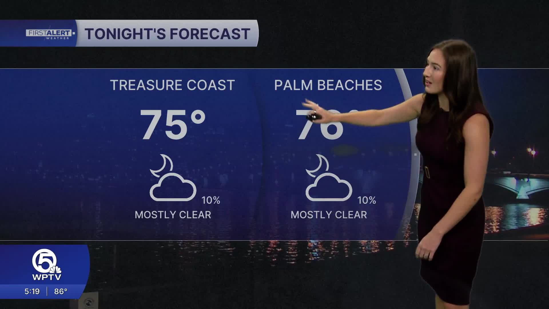


WEST PALM BEACH, Fla. — While the coast is staying mostly clear and dry, isolated showers have developed along Lake Okeechobee and in inland Palm Beach County through the early evening. It will be a warm and muggy night with temperatures dipping into the mid-upper 70s during the early morning hours.
MORE WEATHER: Radar | Alerts | 7-Day Forecast | Hourly Forecast
By Saturday, moisture from the Caribbean begins creeping back into the region as a more typical late-spring/early summer onshore weather pattern takes shape. With onshore winds, a few coastal showers are possible in the morning.
Sea breezes from both coasts are expected to collide over the interior portions of South Florida during the afternoon and evening, making those areas the most likely spots for showers and thunderstorms. Most of the day will stay dry, but keep an umbrella on hand just in case you get caught in a downpour.

Overnight and early morning coastal showers will also become more common. High temperatures will continue hovering in the upper 80s to low 90s, while heat index values could climb near 100 degrees— especially inland.
Coastal metro areas should see lower rain chances during the afternoon, while inland and the west coast of Florida could experience more numerous downpours. Temperatures will remain hotter than average, with many spots reaching the low to mid-90s.
Looking ahead into next week, South Florida settles into a classic early wet-season setup. Expect a daily cycle of sunshine, heat, and scattered afternoon storms, with the greatest rain chances in the late night/early morning along the east coast, transitioning inland around the lake and across Southwest Florida late in the day.


