


WEST PALM BEACH, Fla. — South Florida is in for another stretch of unusually hot weather heading into the weekend, with temperatures climbing well above average for early May.
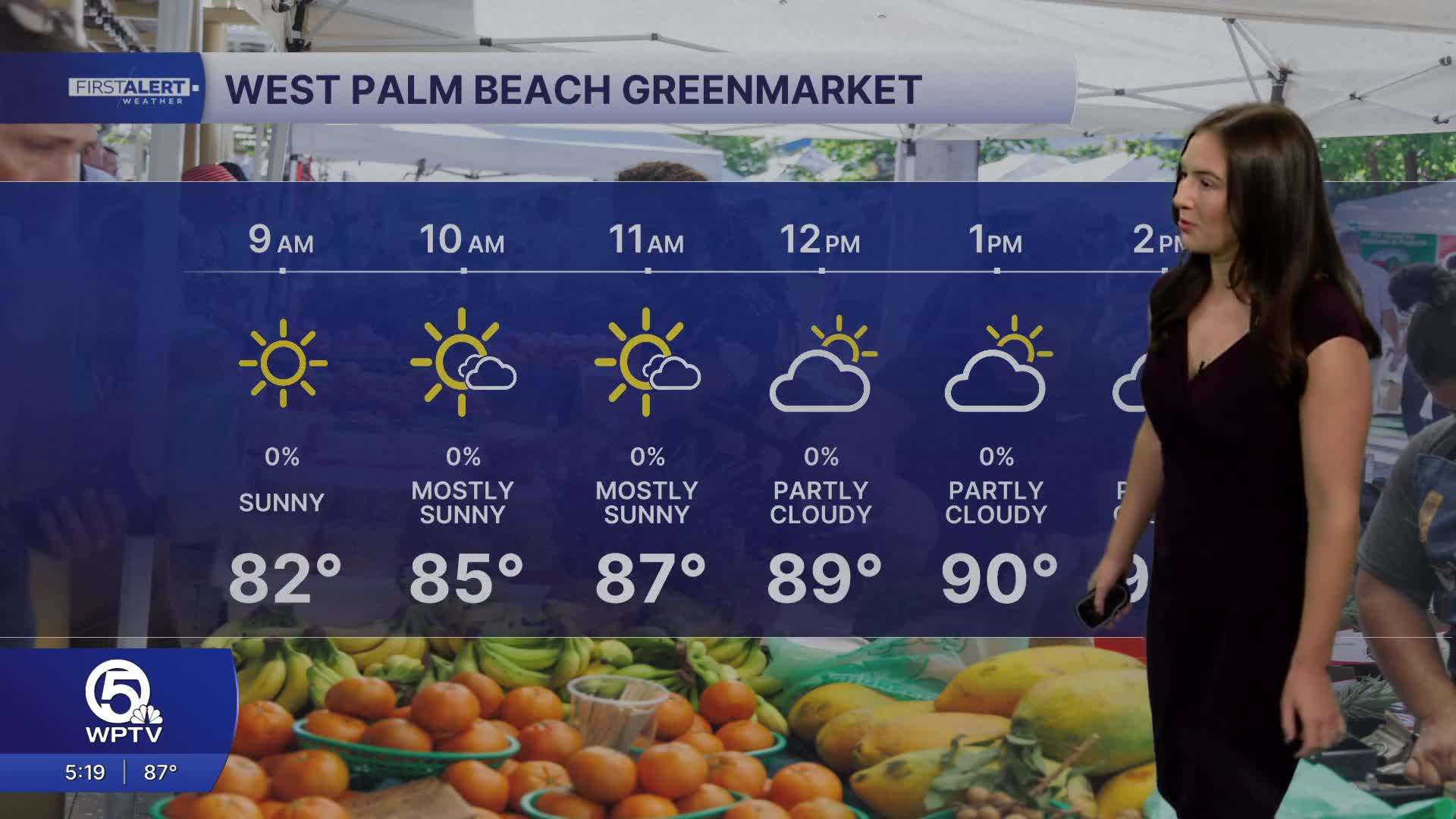
Afternoon highs will reach the upper 80s and low 90s along the coast, while inland areas could soar into the mid-90s. When humidity is factored in, it will feel closer to 100 degrees at times.
MORE WEATHER: Radar | Alerts | 7-Day Forecast | Hourly Forecast
Nights won't offer much relief either, with temperatures staying near 80 degrees and very little breeze to cool things down.
The weather pattern will stay mostly sunny and dry through Mother's Day weekend, although isolated, inland showers could pop-up Sunday afternoon. Heat impacts are expected to increase across South Florida, particularly in urban areas where concrete and limited airflow can make conditions even more uncomfortable. Anyone spending time outdoors should stay hydrated, wear light clothing, take breaks in the shade or air conditioning, and avoid strenuous activity during the hottest part of the day.

A change arrives early next week as a cold front slowly approaches the region. Rain chances will increase Monday into Tuesday, bringing scattered showers and thunderstorms with more cloud cover to the area. While temperatures will remain warm, the added clouds and a shift in winds behind the front could provide at least a little relief from the intense heat.
Rain chances will gradually decrease again by the end of next week.
**Portions of this story were assisted by artificial intelligence tools and reviewed by a WPTV journalist to ensure accuracy, clarity, and adherence to editorial standards.


