

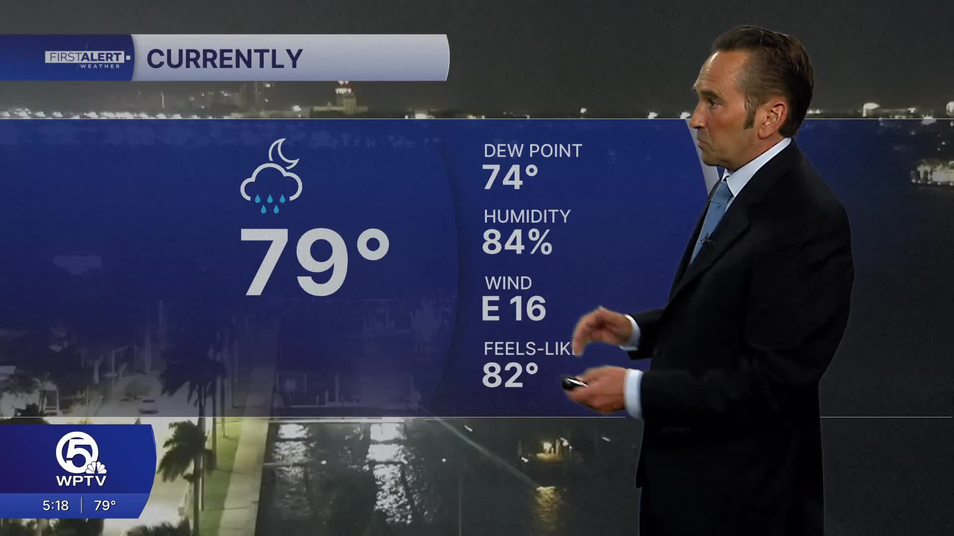


WEST PALM BEACH, Fla. — Friday: The weather remains unsettled with plenty of clouds, humid conditions and periods of heavy showers and thunderstorms. While some locations could see locally heavy downpours, there will also be occasional breaks of sunshine. Afternoon highs will reach the mid-80s.
Saturday: Conditions begin to improve as the overall weather pattern slowly shifts. Rain chances decrease, with scattered showers and a few thunderstorms mainly developing during the afternoon. Longer stretches of dry weather are expected, especially during the morning hours. Highs will remain in the mid-80s.
Sunday: Sunday looks to be the driest day of the weekend. Expect more sunshine and only isolated showers or thunderstorms. Most areas should stay dry for much of the day, making it the best opportunity for outdoor activities and beach plans. High temperatures will once again reach the mid-80s.

Coastal Waters: Boating conditions will remain somewhat choppy through Friday and Saturday. East to east-southeast winds of 12 to 18 knots will continue, along with scattered showers and thunderstorms. Seas near Palm Beach County will average around 2 feet with a moderate chop on the Intracoastal Waterway. Treasure Coast waters may also become choppy at times due to the persistent onshore flow.
Beach Outlook: Despite improving weather conditions this weekend, beachgoers should remain cautious. A high risk of rip currents continues along Atlantic beaches through Saturday evening, according to the National Weather Service.
MORE WEATHER: Radar | Alerts | 7-Day Forecast | Hourly Forecast
Portions of this story were assisted by artificial intelligence tools and reviewed by WPTV journalists to ensure accuracy, clarity and adherence to editorial standards.


