


WEST PALM BEACH, Fla. — Florida is in for a stretch of unseasonably warm weather through Thursday, with temperatures climbing well above normal across much of the peninsula.
We will be watching for areas of fog to develop late tonight. Light overnight winds and lingering moisture could allow patchy to locally dense fog to linger through 8-9 a.m. Drivers should be ready for sudden drops in visibility during the morning commute.
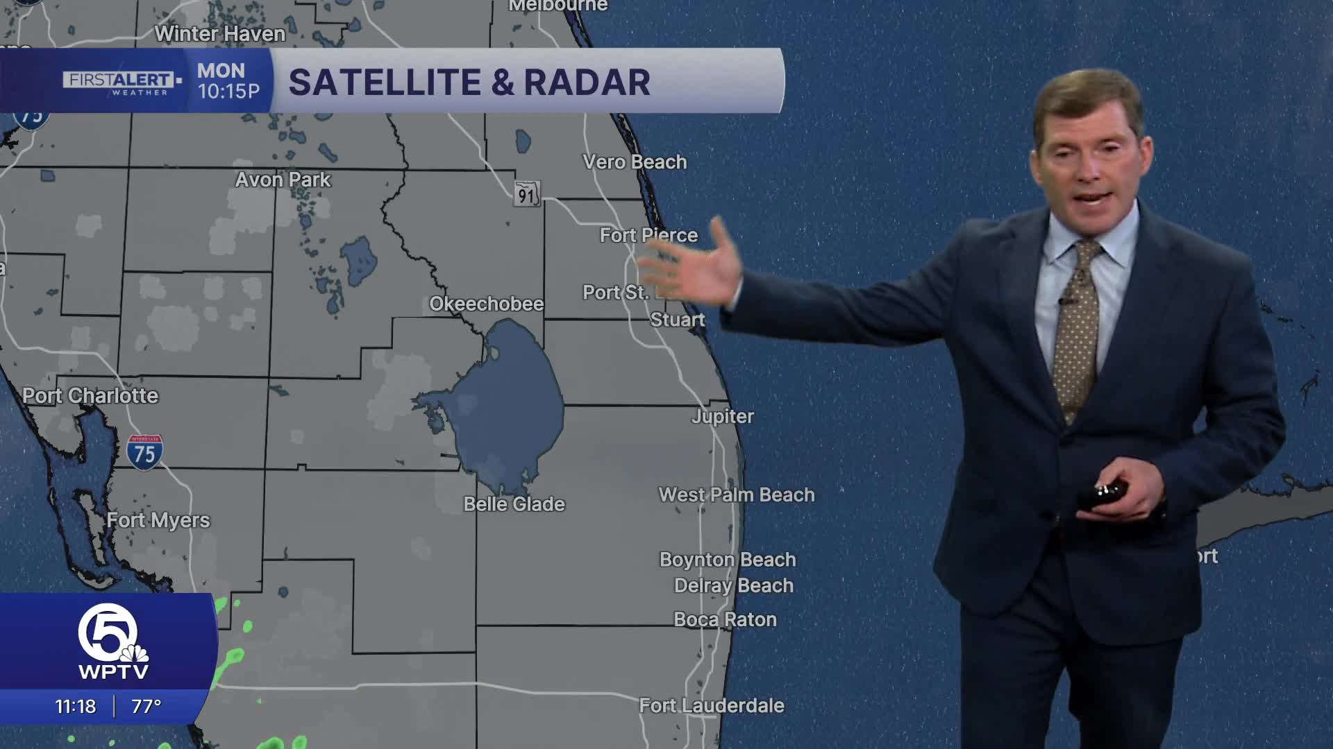
MORE WEATHER: Radar | Alerts | 7-Day Forecast | Hourly Forecast
Overnight temperatures will remain mild, with lows mostly in the upper 60s to low 70s, adding to the early summer-like feel across the region.

Coastal areas will stay slightly cooler thanks to afternoon sea breezes, generally topping out in the mid-80s. However, inland areas could see highs in the upper 80s, which is nearly 10 degrees warmer than typical for this time of year. Some spots may approach record highs in some spots later this week.
At the same time, conditions overall remain mostly dry with only a small chance of isolated showers or storms developing inland during the afternoon on Tuesday and Wednesday.
By late Thursday into Friday, the weather pattern begins to shift as a cold front moves south through Florida. This front will bring increasing clouds along with scattered showers and thunderstorms on Friday.
Behind the front, temperatures will ease slightly into the low to mid-80s for the weekend, though periodic showers may linger as the front stalls and additional moisture moves into the area.
**Portions of this story were assisted by artificial intelligence tools and reviewed by a WPTV journalist to ensure accuracy, clarity, and adherence to editorial standards.


