

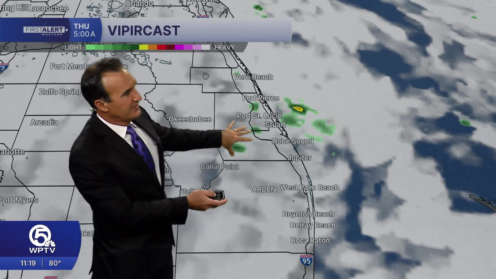


WEST PALM BEACH, Fla. — It's another hot and humid afternoon across South Florida, but the weather story is shifting to thunderstorms as the sea breeze moves inland. Scattered to numerous showers and thunderstorms are expected to develop through the afternoon and early evening, with the greatest coverage stretching from inland Palm Beach County into the Treasure Coast and toward the Lake Okeechobee region.
Storm Timing:
2–4 PM
Isolated storms begin developing over inland communities. The Atlantic sea breeze pushes inland while additional storms form along boundary collisions. Parts of the Treasure Coast are already seeing storms develop along the I-95 corridor in St. Lucie and Indian River counties, as well as Okeechobee County.
4–7 PM
This will be the busiest part of the day. Storm coverage increases across Palm Beach County, Martin County, St. Lucie County, Indian River County, and around Lake Okeechobee. Some storms may drift back toward coastal communities during the late afternoon.
After 7 PM
Storms gradually weaken and become more isolated. Most areas should become quiet later this evening, although a few lingering showers remain possible.
Even though severe weather is not expected to be widespread, any stronger storm may produce heavy rainfall, lightning, and gusty winds. Localized flooding, especially in poor drainage and low-lying areas could also be a problem because storm movement will be slow, and rainfall can quickly add up where storms repeatedly move over the same location.

A gradual pattern change begins Wednesday as easterly winds return. That means our coastal communities will still see a few showers, mainly during the morning and early afternoon. The highest concentration of afternoon thunderstorms shifts farther inland toward the interior and southwest Florida through the middle of the week.
Looking toward Friday and Saturday, forecast confidence continues to increase that a surge of tropical moisture will arrive from the Atlantic. That could lead to higher rain chances, choppier surf, and an increasing risk of dangerous rip currents along Atlantic beaches.
While details are still being refined, it's something we'll continue to watch closely through the week.

MORE WEATHER: Radar | Alerts | 7-Day Forecast | Hourly Forecast


