

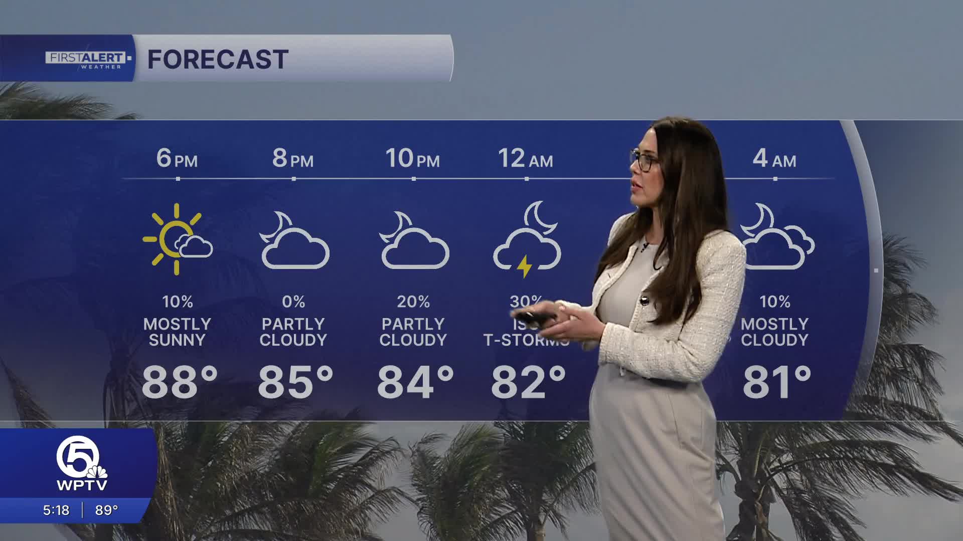


WEST PALM BEACH, Fla. — Wednesday brings more of the same – another scorching day with partly sunny skies and highs near 90 degrees. A few afternoon thunderstorms may pop up, especially inland before drifting toward the coast later in the day.
MORE WEATHER: Radar | Alerts | 7-Day Forecast | Hourly Forecast
During the day Thursday, you'll see mostly cloudy skies with scattered afternoon storms and that familiar muggy heat. But the real excitement happens after dark with a partial lunar eclipse. The show begins around 10:33 p.m., reaches its peak at 12:12 a.m. Friday (when 96% of the moon will be in Earth's shadow), and wraps up around 1:51 a.m. The only wild card? Cloud cover. Current forecasts suggest some clouds may stick around, so eclipse viewing could be hit-or-miss. Keep your fingers crossed for breaks in the clouds!
Friday returns to the recent pattern: a blend of sun and clouds with continued heat and humidity. Expect highs around 90-92 degrees with a chance of scattered showers or thunderstorms.
This weekend looks hot, humid and unsettled. Plan for plenty of clouds, temperatures in the 90s, and scattered afternoon showers and storms. Rain chances may actually increase a bit, so have indoor backup plans for outdoor activities.
**Portions of this story were assisted by artificial intelligence tools and reviewed by WPTV journalists to ensure accuracy, clarity, and adherence to editorial standards.


