

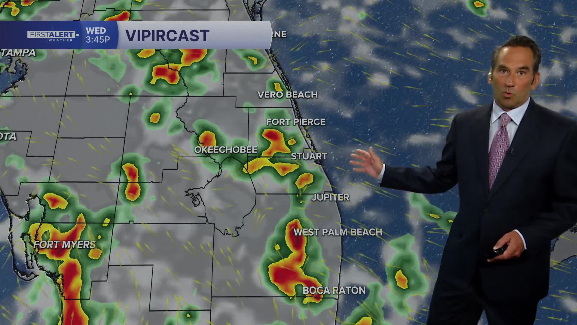


WEST PALM BEACH, Fla. — A typical humid September pattern continues today as tropical moisture blankets the region. After a morning mix of sunshine and clouds, expect an increasing threat of showers and thunderstorms throughout the afternoon.
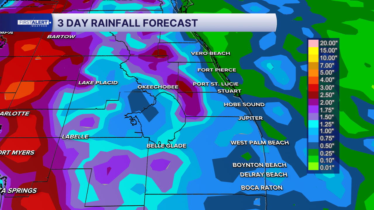
Across both the Palm Beaches and Treasure Coast, temperatures will climb to the upper 80s to around 90 degrees, but the oppressive humidity will push heat index values between 100-105 degrees. While a few showers may develop during the late morning hours, the main threat arrives this afternoon when scattered thunderstorms develop. These storms could produce heavy downpours, frequent lightning, and gusty winds, with rain chances ranging from 40-50 percent regionwide.
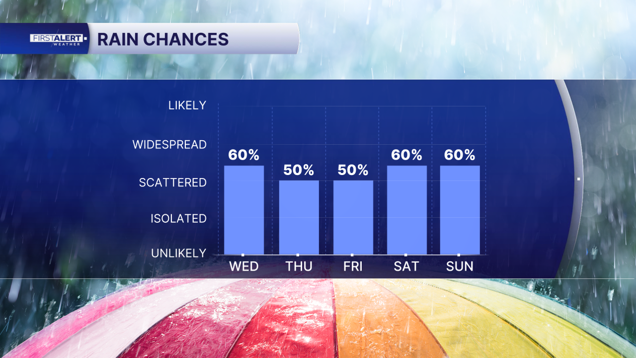
Tonight will remain warm and muggy with overnight lows settling into the upper 70s to low 80s. Additional showers or storms remain possible through the evening hours.
The weather pattern shifts notably as we head into the latter half of the week. Thursday brings increasing moisture and more numerous afternoon thunderstorms, while highs hold steady in the upper 80s to around 90 degrees.

Friday through the weekend marks a significant change toward much more active conditions. Widespread afternoon thunderstorms with locally heavy rainfall become the dominant feature, pushing rain chances up to 70-80 percent across portions of the Treasure Coast, with substantial storm coverage also expected in the Palm Beaches. This more active storm period will persist through Sunday.
MORE WEATHER: Radar | Alerts | 7-Day Forecast | Hourly Forecast


