
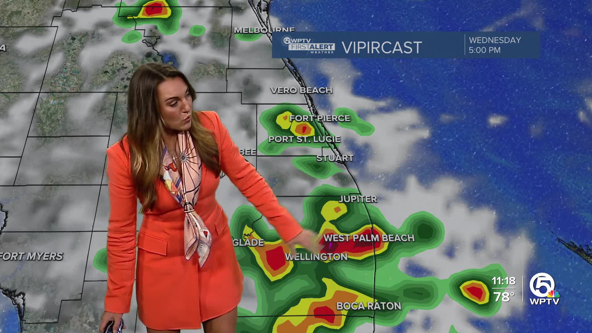


WEST PALM BEACH, Fla. — The storm weather pattern continues for South Florida and much of the Sunshine State.
Widespread storms are expected again on Wednesday, especially in the afternoon and evening hours. This is all due to a stationary front over North and Central Florida.
MORE WEATHER: Radar | Alerts | 7-Day Forecast | Hourly Forecast
Enhanced moisture is being bumped into the atmosphere from the Gulf as the general steering flow remains out of the west. Daily rounds of showers and storms are expected, and some cities or neighborhoods will experience repeated downpours that will lead to minor flooding.
Afternoon temperatures will stay in the mid and upper 80s.

By Thursday, the onshore flow settles in. This will try to work in passing showers or storms from the Atlantic Ocean and cloudiness.
The stationary front will become a cold front and pass through South Florida, allowing for humidity and rain chances to drop this weekend. This is some good news after a soggy and stormy week.
Weekend temps will reach the upper 80s with lows in the upper 60s.


