


WEST PALM BEACH, Fla. — Expect rough marine and beach conditions through Thursday night, and prepare for a drier air mass that will dramatically drop dew points into the 50s!
Winds will be breezy today, gusting between 20-30 mph from the northwest due to the influence of Hurricane Melissa, in addition to the passing cold front.
As we head into tonight and Friday, calmer winds will replace the gusts, alongside drier, chilly weather.
Temperatures today are expected to peak in the mid-upper 70s, with highs on Friday likely staying in the upper 70s as night falls. Thursday night’s lows will range from the lower 50s near Lake Okeechobee to the upper 50s to near 60 along the coasts.

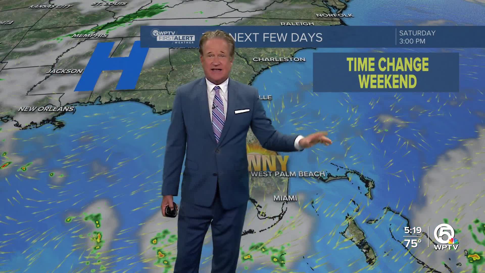
Looking ahead to the weekend and beyond, dry conditions are anticipated to persist through the weekend, allowing temperatures to creep into the low to mid 80s Sunday afternoon. While the moisture levels may rise slightly, the chances of rain remain low due to the absence of significant weather systems.
Heading into next week, weather models show differing opinions on the development of the next frontal system and rain chances. So while rain chances will increase early next week, how much is still in question.
Enjoy this first taste of fall!
**Portions of this story were assisted by artificial intelligence tools and reviewed by a WPTV journalist to ensure accuracy, clarity, and adherence to editorial standards.


