


WEST PALM BEACH, Fla. — Our cold snap will be coming to an end by Wednesday afternoon as temps warm into the mid-70s.
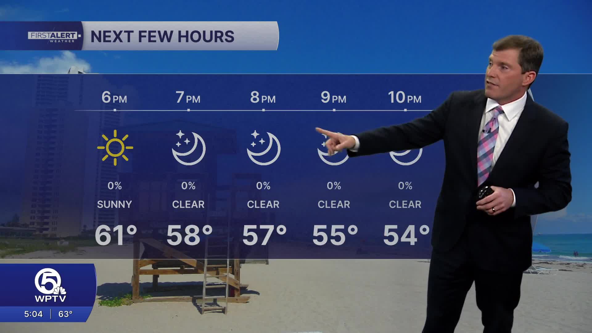
Although we still have to get through another chilly night, with temperatures dropping in the high 30s inland to mid and upper 40s for southern zones near the coast.
MORE WEATHER: Radar | Alerts | 7-Day Forecast | Hourly Forecast
High pressure will push offshore, bringing the flow from the southeast and helping to warm things up again. In fact, we will be above average on Thursday with readings topping 80 degrees.
Looking ahead, a front approaching Florida on Friday will bring increasing moisture and the chance for scattered showers. Temperatures ahead of that boundary will surge above normal, with some inland locations potentially pushing toward the middle 80s. Rain chances linger into the weekend.
A weak front coming on Sunday will limit temperatures from getting past the low 80s.
A high risk of rip currents is in effect for our local beaches on Wednesday. The small craft advisory has been dropped as northeast swells start to diminish.


