
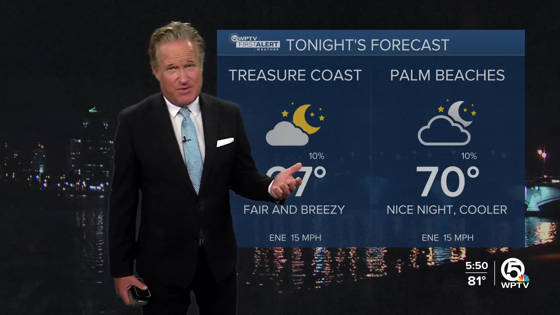


WEST PALM BEACH, Fla. — As the sun sets on Friday, we'll transition into a partly cloudy evening, with temperatures dipping to around 67-72 degrees and a slightly lighter wind of 10 mph, keeping everything comfortable.
MORE WEATHER: Radar | Alerts | 7-Day Forecast | Hourly Forecast
Then, on Saturday, the good vibes continue! We’re looking at mostly sunny skies again with highs near 83 degrees. The winds will shift east and calm down a bit. Perfect weather for a picnic or a day at the park!
Saturday night will remain relatively mild with partly cloudy skies and temperatures dropping to about 73 degrees. The east wind will calm down a bit, coming in at around 5 mph.
If you're planning to hit the beaches this weekend, it's important to be aware of some weather conditions that could affect your fun in the sun. Gusty northeasterly winds are creating dangerous rip currents, which will stay throughout the weekend.
In addition to the rip currents, be prepared for minor flooding within two hours of high tide, especially as the new moon approaches.
Marine conditions will be hazardous due to the ongoing interaction of the northeasterly swell with the Gulf Stream current. So if you’re considering some boating or water activities in areas like Biscayne Bay, it's best to exercise caution.
Heading into Sunday, expect more sunshine with temperatures warming up to 85 degrees. A gentle southeast wind at 5 to 9 mph will make for another great day outdoors. As nighttime rolls in, expect partly cloudy conditions and temperatures in the low 70s, with the southeast wind calming after midnight.
Moving into Monday, a cold front will ramp up the rain chances.
*Portions of this story were assisted by artificial intelligence tools and reviewed by a WPTV journalist to ensure accuracy, clarity, and adherence to editorial standards.


