

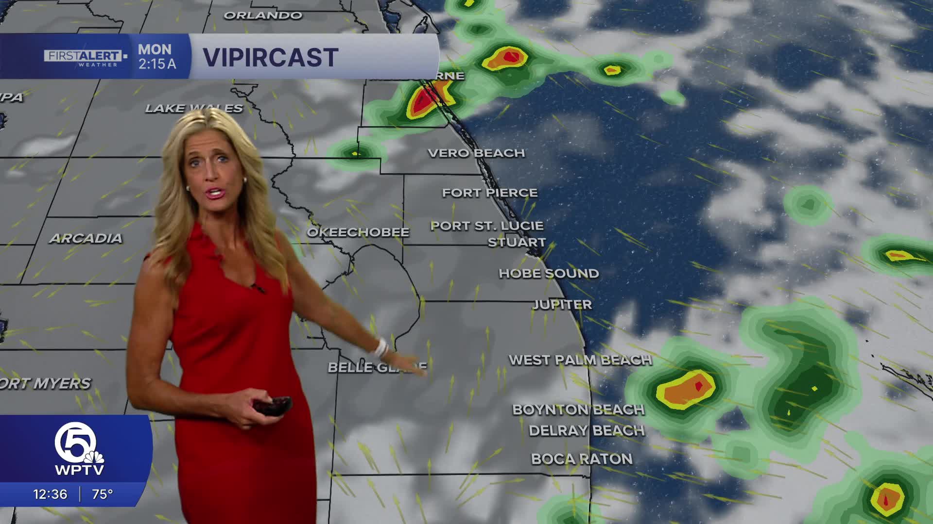


WEST PALM BEACH, Fla. — Flooding concerns continue through the first half of the week.
An unsettled pattern is in place as an upper level low in the Gulf continues to enhance our rain chances. The low is helping to pump deep moisture across the area from the tropics
MORE WEATHER: Radar | Alerts | 7-Day Forecast | Hourly Forecast
The first half of Monday looks to be mainly dry. During the afternoon stronger storms could produce heavy rainfall on Monday . Localized rainfall amounts of 1 to 3 inches are possible, with isolated higher totals.
The greatest concern will be localized flooding in urban and poor-drainage areas, especially where heavy rain has already fallen in recent days.
High temperatures will stay near average this week in the upper 80s to around 90 degrees.
Rain chances stay elevated right through Wednesday - before we start to see a pattern change.
By Thursday - a front begins to slide into central Florida and could make it all the way through our area late-week. Drier air working in behind the front will help lower rain chances by Friday.
Boating conditions stay good on Monday: 1-2' seas and smooth conditions in the Intracoastal.


