

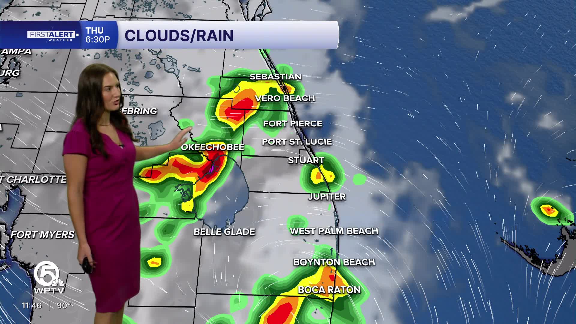


WEST PALM BEACH, Fla. — More storms are moving in Thursday and will stick around through the weekend, bringing much-needed relief from the recent scorching temperatures.
While it'll still be hot and humid, the extra clouds and rain should help knock the temperature down a few degrees from the extreme heat we've been experiencing.
MORE WEATHER: Radar | Alerts | 7-Day Forecast | Hourly Forecast
Temperatures on Thursday will climb to around 92 to 94 degrees under partly sunny skies, but don't let that fool you. Scattered showers and thunderstorms will start popping up late morning and become more common throughout the afternoon. Some storms could pack a punch with heavy rain, frequent lightning, and gusty winds, so keep an eye on the sky.
Tomorrow will be another active storm day is on tap with highs reaching 93-94 degrees. Expect more clouds and scattered to numerous afternoon thunderstorms. Those heavy downpours could cause brief street flooding, so drive carefully if you're out and about.
Saturday will still be hot with highs near 92 to 94 degrees, but storms remain a big part of the forecast. Scattered afternoon thunderstorms should provide cooling rain in some areas. Sunday continues the pattern with storm chances staying high and scattered to numerous afternoon thunderstorms expected. The extra cloud cover and rain should help keep temperatures slightly lower, generally around 91 to 93 degrees.
Portions of this story were assisted by artificial intelligence tools and reviewed by WPTV journalists to ensure accuracy, clarity, and adherence to editorial standards.


