
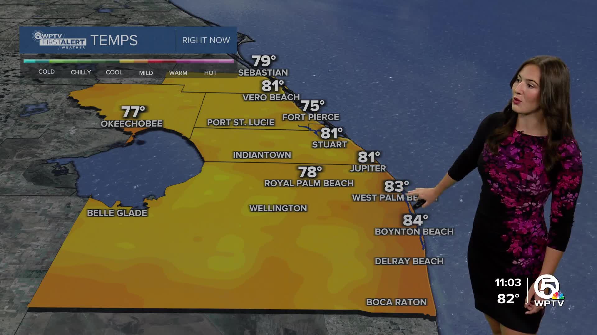


WEST PALM BEACH, Fla. — At this time, there are no heat advisories for our area, but prepare for a scorching hot weekend!
High pressure is building in the southeast and Saharan dust lingers over Florida. These two things will keep us hotter and drier for the weekend.
While we are expecting a mainly sunny conditions, the sky could look a bit hazy at times. Highs will reach the lower 90s on Saturday with feels-like temperatures around 100-105.
MORE WEATHER: Radar | Alerts | 7-Day Forecast | Hourly Forecast
Sunday and Monday temperatures are expected to reach 93-94 degrees.
Seasonable rain chances return at the beginning of next week as the high-pressure moves west and low pressure moves over north Florida.
TROPICS:
Showers and thunderstorms continue over the northwestern Gulf as well as in southwestern Louisiana and southeastern Texas, but tropical development is no longer expected with the disturbance.
There are a few tropical waves in the tropical Atlantic that the models develop briefly. Nothing is highlighted for potential development yet, but we are keeping an eye on it. Eventually these disturbances will run into shear and dry air around the Caribbean, which will limit any further development.


