


WEST PALM BEACH, Fla. — Overnight lows will fall into the middle-upper 60s with some cloud cover. An isolated shower can't be ruled out overnight.
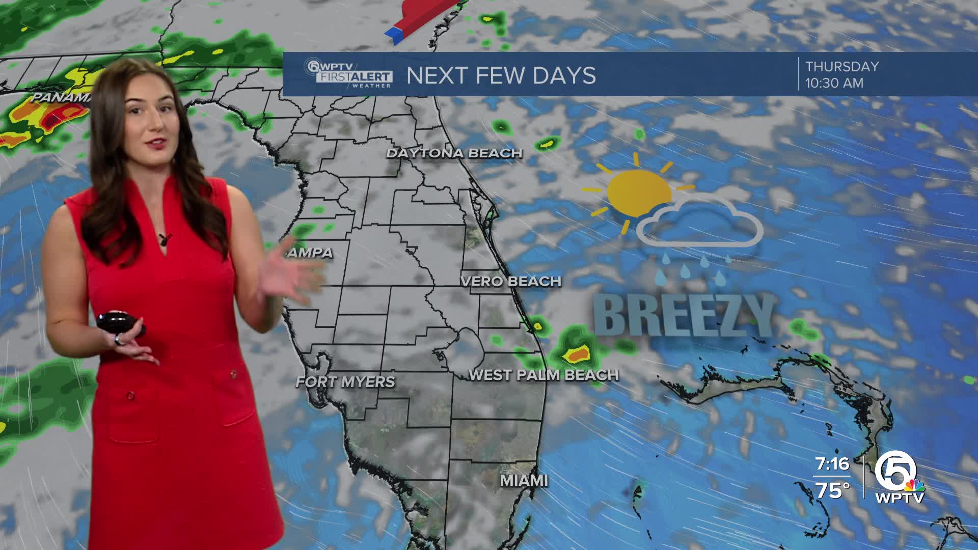
Temperatures and rain chances increase on Thursday as a weakening cold front approaches. A few coastal showers are possible, with the highest chances the further north you are.

Highs on Thursday will be a bit warmer in the lower 80s. It will be partly to mostly cloudy with a southeasterly wind. It will be breezy with wind speeds near 10-15 mph. This will lead to hazardous conditions for our beach goers with a high rip current risk for our Palm Beaches.
MORE WEATHER: Radar | Alerts | 7-Day Forecast | Hourly Forecast
Friday will be a warm and muggy day with highs in the lower to middle 80s and partly sunny skies continue. It won't be as breezy.
A cold front approaches over the weekend, which will maintain low rain chances. Temperatures stay warmer than normal with highs in the lower 80s.
You can anticipate more showers for the start of the following week. Monday won't be a washout, but it will be damp. Temperatures will be warming throughout next week.


