


WEST PALM BEACH, Fla. — South Florida is settling into a familiar late-spring/early summer weather pattern this week, with isolated to scattered showers and thunderstorms moving from east to west each day.
Breezy onshore winds will continue daily, helping push most of the storm activity inland and toward the western half of the peninsula by late day.
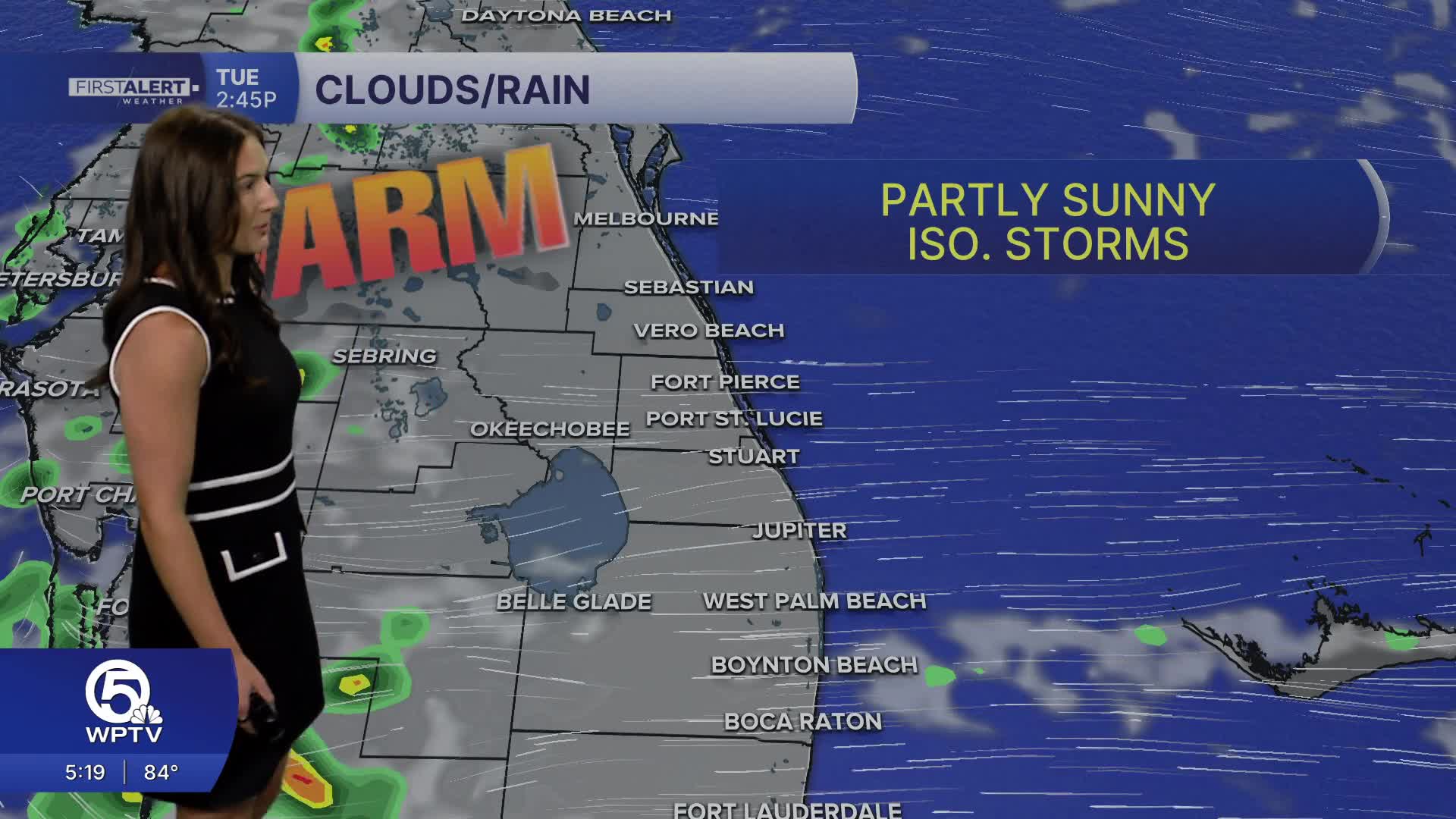
MORE WEATHER: Radar | Alerts | 7-Day Forecast | Hourly Forecast
Coastal communities may still see a few showers drift in overnight. Temperatures will stay warm, with highs in the upper 80s along the beaches and low 90s inland.
While widespread severe weather is not expected, a few stronger storms could produce gusty winds up to 50 mph, frequent lightning, heavy rain, and small hail. Rain chances will decrease on Wednesday, then gradually increase heading into Memorial Day weekend as deeper tropical moisture moves into the state.
Forecast models suggest storm coverage could become more widespread by late weekend and into Memorial Day, especially during the afternoon and evening hours.
Temps will remain above average, and a Moderate Heat Risk is expected to expand across much of East Central Florida as humidity and temperatures continue to build. Anyone spending extended time outdoors should stay hydrated and take breaks from the heat, particularly during the afternoon.
Beachgoers should also be extremely cautious, as a high risk of life-threatening rip currents continues at all Central Florida Atlantic beaches. Dangerous surf conditions are expected, and entering the water is strongly discouraged.
Portions of this story were assisted by artificial intelligence tools and reviewed by a WPTV journalist to ensure accuracy, clarity, and adherence to editorial standards.


