
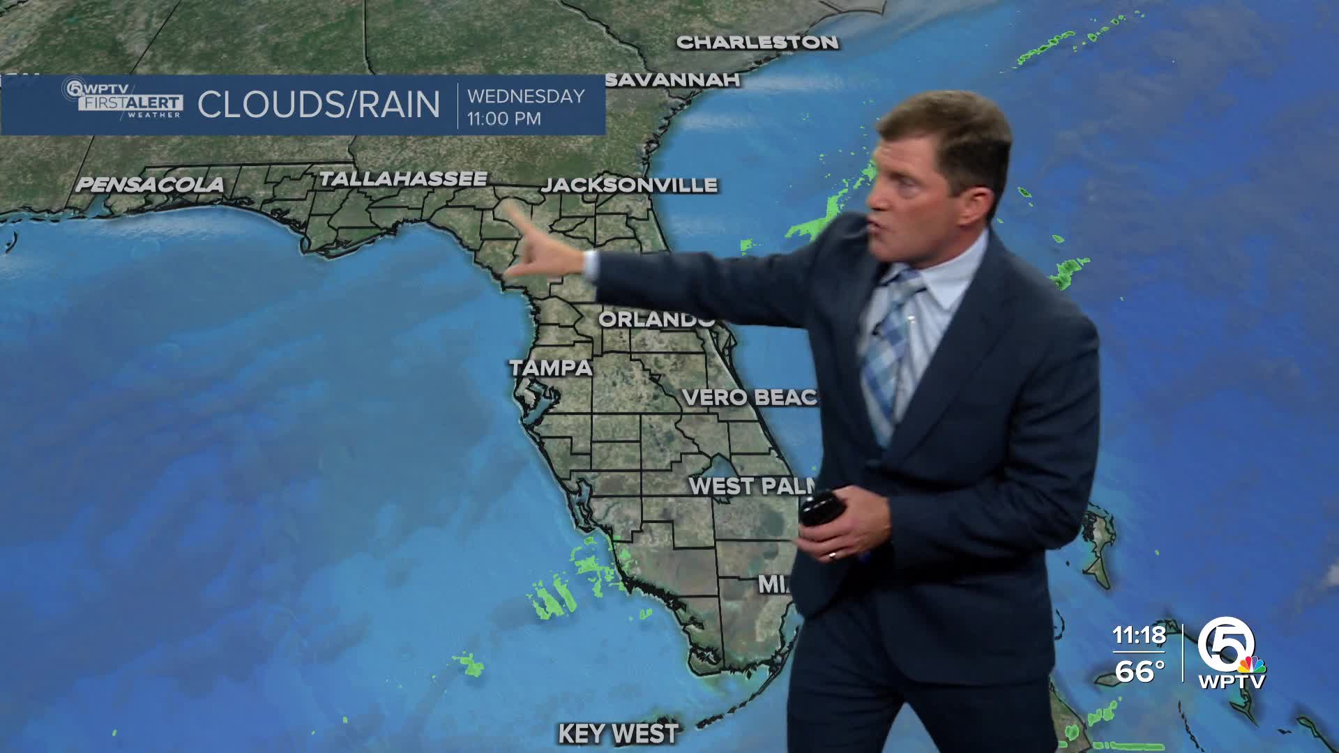


WEST PALM BEACH, Fla. — South Florida will see cooler nights and mostly dry weather through the rest of the work week.
Skies will clear by the evening and temperatures will start to cool. Overnight temperatures will drop into the low 50s inland and the upper 50s along the East Coast.
MORE WEATHER: Radar | Alerts | 7-Day Forecast | Hourly Forecast
Another dry, cold front will move in on Thursday. Other than just a few passing clouds, the day looks great with seasonable highs in the mid-upper 70s. Winds will be out of the northwest with occasional gusts near 15-20 mph. A high rip current risk for our beaches will likely persist through Thursday.
This front will finally push out a stalled front that sits to our south and bring in an additional surge of dry, cooler air. By Friday morning, it will feel chillier with lows dipping into the low to mid-40s inland and the mid- to upper 50s near the coast.
Looking toward the end of the week and early next week, high pressure behind the front will keep conditions dry and comfortable. Forecast confidence decreases late in the weekend as some models suggest a disturbance over the Gulf could move across the peninsula, possibly increasing moisture and bringing a small chance of showers. For now, rain chances remain low, around 20-30%.
Temperatures will gradually warm through the weekend, with highs in the mid- to upper 70s climbing into the low 80s, and overnight lows in the mid-50s inland and mid-60s along the coast.


