

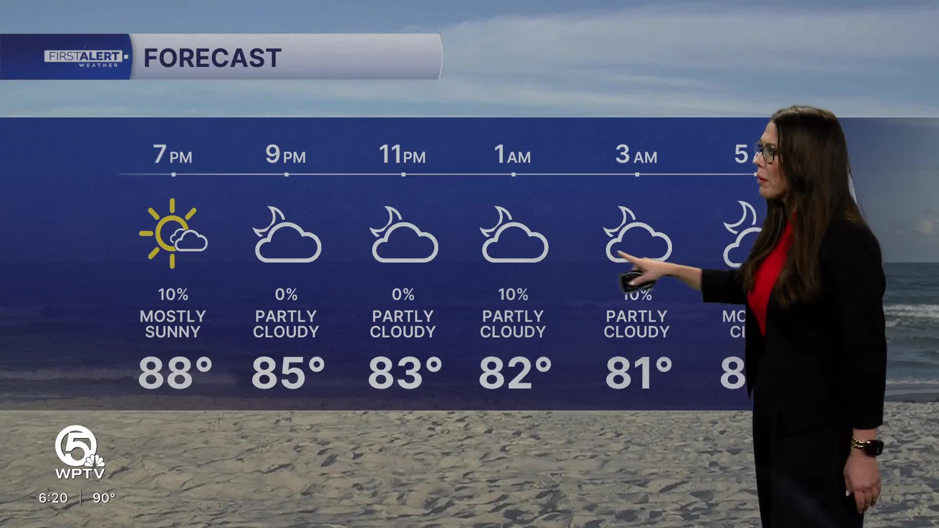


WEST PALM BEACH, Fla. — More moisture begins returning Tuesday, bringing a better chance for afternoon and evening thunderstorms.
Across South Florida, we expect rain chances to climb to around 50% to 60% across inland locations, with storms once again developing around the sea breezes. The strongest storms could bring gusty winds, frequent lightning and pockets of heavy rainfall.
MORE WEATHER: Radar | Alerts | 7-Day Forecast | Hourly Forecast
The increase becomes even more noticeable across the Treasure Coast with rain chances generally around 30% to 60% Tuesday, followed by even greater storm coverage later in the week.
Temperatures Tuesday will remain in the low to mid-90s, with humidity pushing feels-like temperatures above 100 degrees in many locations.
Wetter pattern Wednesday through the weekend
By Wednesday, deeper moisture returns across the region as the influence of the recent Saharan Air Layer fades.
That should bring South Florida back toward a more typical late-August pattern: hot and humid mornings followed by scattered to numerous afternoon thunderstorms.
Expect roughly 50% to 70% rain chances Wednesday through Friday, due to an abundance of atmospheric moisture to support widespread daily thunderstorm development through the latter half of the week.


