


WEST PALM BEACH, Fla. — A Flood Watch and High Surf Advisory are in effect for the Treasure Coast. Small craft advisory, high risk for rip currents, and coastal flood advisory for king tides are in effect for the entire area.
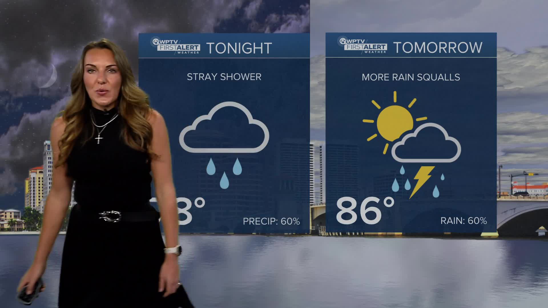
We are having a wet and windy start to the week, especially along the coast. Fast-moving showers coming in from the Atlantic could bring heavy downpours today, and some areas might experience multiple rounds of rain, leading to localized flooding — especially in low-lying areas.
A Flood Watch is in effect for coastal counties through 8 p.m., so keep an eye out if you're in those areas. It’ll stay breezy too, with gusty onshore winds continuing through much of the week.
MORE WEATHER: Radar | Alerts | 7-Day Forecast | Hourly Forecast
Beach and marine conditions are pretty rough right now. Large waves, dangerous rip currents, and minor coastal flooding are expected during high tides— so it's best to avoid swimming or boating. Waves could reach 5 to 7 feet, with beach erosion possible, especially around high tide.
Rain chances will start to dip a bit by midweek as some drier air moves in, though areas around Lake Okeechobee could still see decent rain on Tuesday.
Expect partly to mostly cloudy skies with scattered showers through Wednesday, and then another uptick in rain by Thursday as moisture builds back in. Highs will be in the mid to upper 80s all week, with muggy nights in the low to mid 70s.
Looking ahead to the weekend, things could finally cool down a bit. A cold front is expected to move in Friday into Saturday, bringing a good chance of rain on Friday, followed by drier and slightly cooler weather.
Highs will dip into the low to mid 80s, and by Sunday morning, some areas could wake up to temps in the 60s—a little taste of fall at last!


