
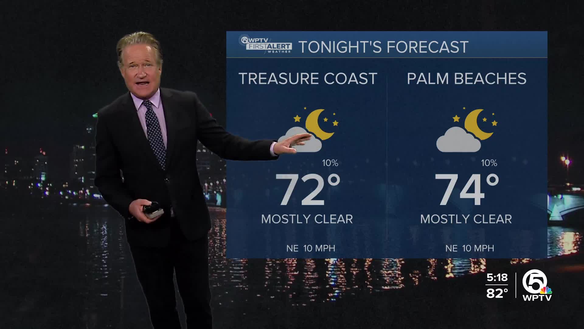


WEST PALM BEACH, Fla. — A "cool" front just sliding by South Florida is bringing in breezier and drier conditions.
Starting later Thursday, our local waters will have some rough conditions, thanks to increasing winds and a northeasterly swell. If you're planning to hit the beaches, be cautious as strong rip currents are expected to affect all the area beaches tonight and tomorrow.
MORE WEATHER: Radar | Alerts | 7-Day Forecast | Hourly Forecast
The combination of these gusty winds and a new moon could lead to minor flooding around high tide along South Florida's east coast—especially within about two hours of high tide.
While a stray shower is possible through the evening, drier air arrives on Friday with the lower dewpoints. You can expect a mostly sunny day with highs in the mid 80s.

Looking ahead through the weekend, the winds calm down some, and humidity drops late Friday and Saturday to pretty comfortable levels. Sunday will have plenty of sunshine, and it will get hotter with highs extending into the upper 80s.
*Portions of this story were assisted by artificial intelligence tools and reviewed by a WPTV journalist to ensure accuracy, clarity, and adherence to editorial standards.


