

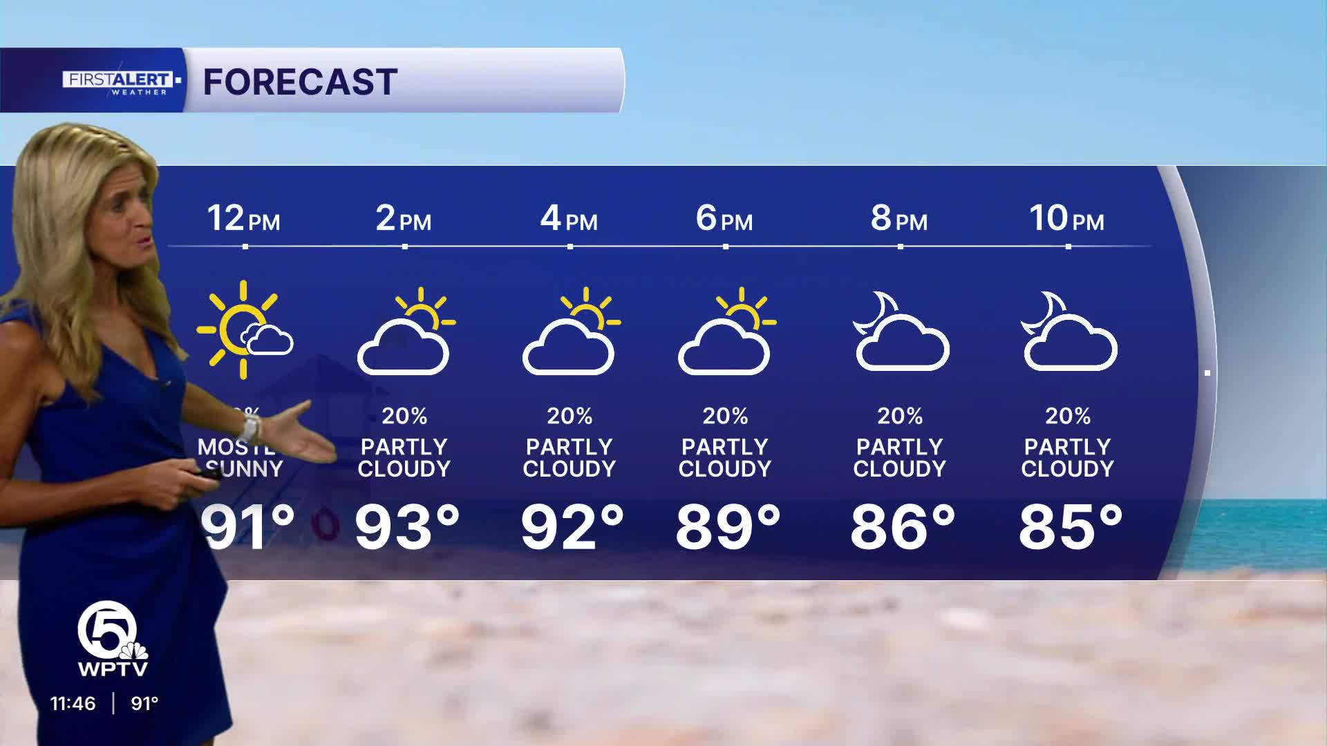


WEST PALM BEACH, Fla. — Dangerous heat is expected to grip the region through the weekend, with afternoon temperatures climbing into the lower to mid-90s and heat-index values potentially reaching 110 degrees.
MORE WEATHER: Radar | Alerts | 7-Day Forecast | Hourly Forecast
A heat advisory is in effect as conditions approach record levels. Inland locations could see highs of 95 degrees or higher, particularly where skies remain mostly sunny and rain stays away.
Rain chances remain limited throughout the weekend. A few afternoon showers or thunderstorms may develop, but coverage will be sparse, offering only brief, localized relief to most areas.
Saturday brings another brutally hot day, with mostly sunny skies and highs again around 93–95°. A stray shower is possible, but most locations should stay dry.
Sunday is the hottest day of the weekend. Mostly sunny skies and highs potentially reaching 95° or higher make record highs worth monitoring. Rain chances remain low.
**Portions of this story were assisted by artificial intelligence tools and reviewed by a WPTV journalist to ensure accuracy, clarity, and adherence to editorial standards.


