


WEST PALM BEACH, Fla. — The wind flow will turn more southerly, then westerly by Tuesday as the next cold front moves closer to our area.
Also warmer and a bit more humid on Tuesday with afternoon temps in the low to mid 80s.
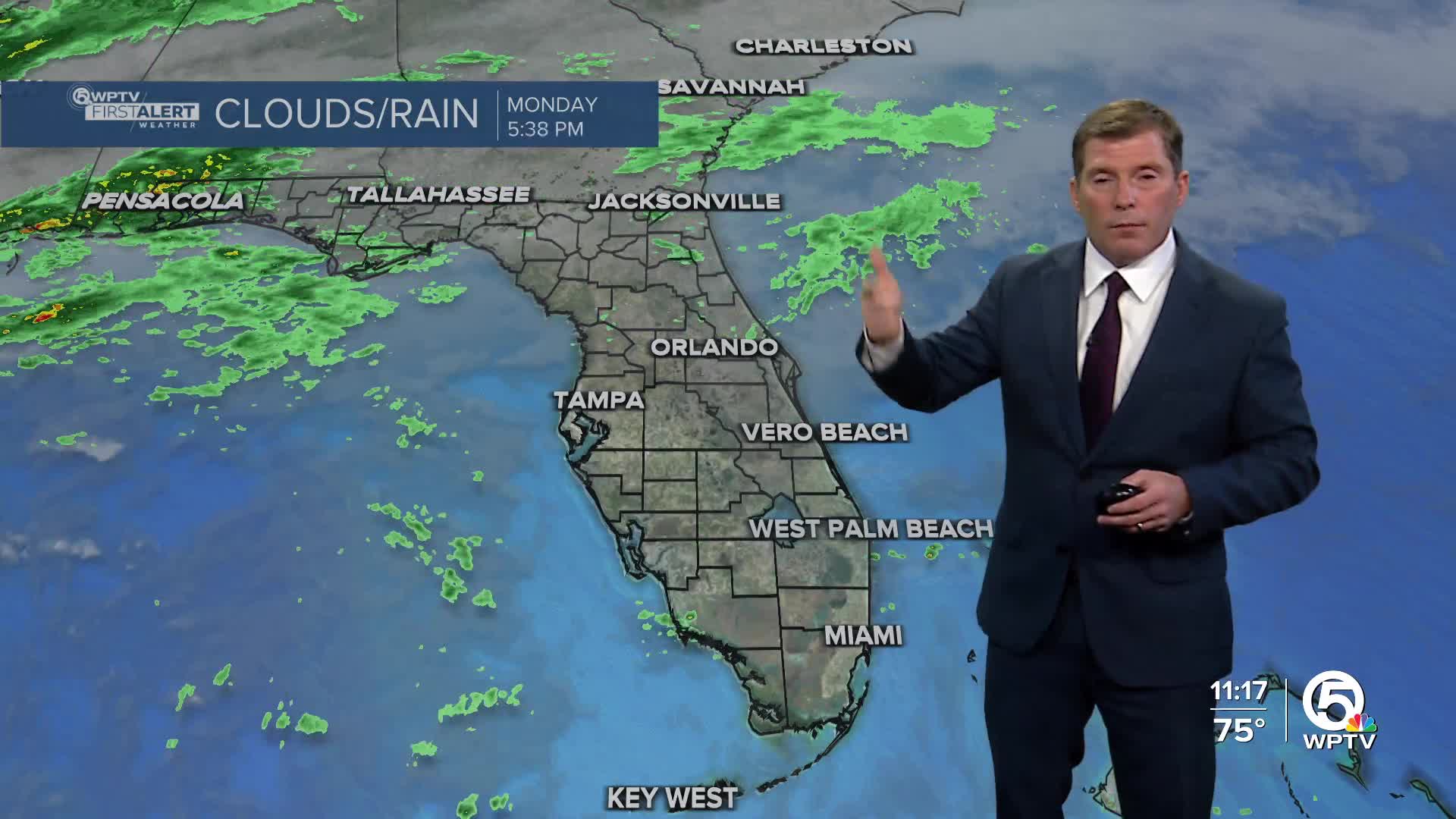
MORE WEATHER: Radar | Alerts | 7-Day Forecast | Hourly Forecast
Showers and a few storms are possible later Tuesday evening. Tuesday night could have isolated storms with lows dipping to the 60s overnight.
The cold front passes through early Wednesday. This front will not be as strong as the last with the cool down, but it will dry things out for the rest of the week with lower humidity levels.
Mostly sunny conditions Wednesday through Friday with highs in the upper 70s or near 80.
A high rip current risk continues through Monday for Palm Beaches.


