

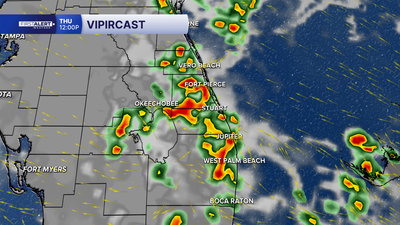


WEST PALM BEACH, Fla. — Hot, humid, and increasingly stormy weather will continue across the Treasure Coast and Palm Beaches today. Expect plenty of clouds at times, with a few morning showers possible, followed by a better chance for afternoon and early evening thunderstorms. Temperatures will climb to around 90°F, with high humidity making it feel several degrees hotter. Some storms could produce heavy downpours, frequent lightning, gusty winds, and briefly reduced visibility.
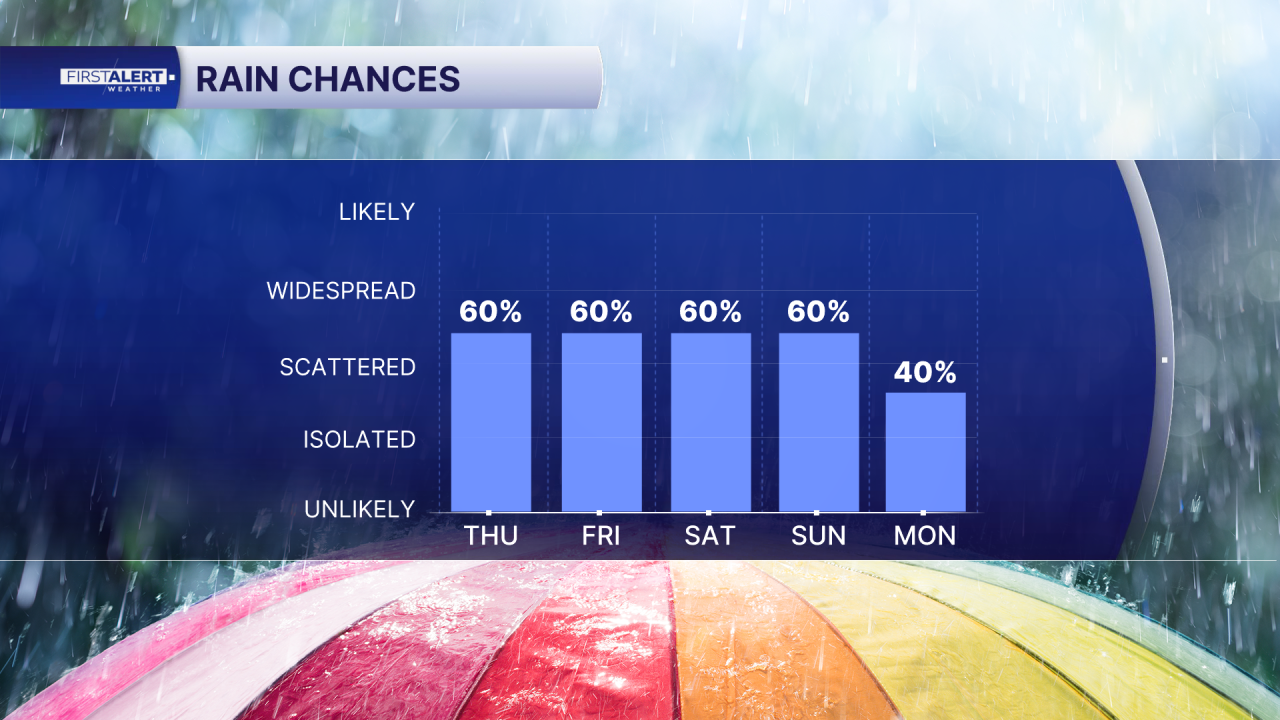
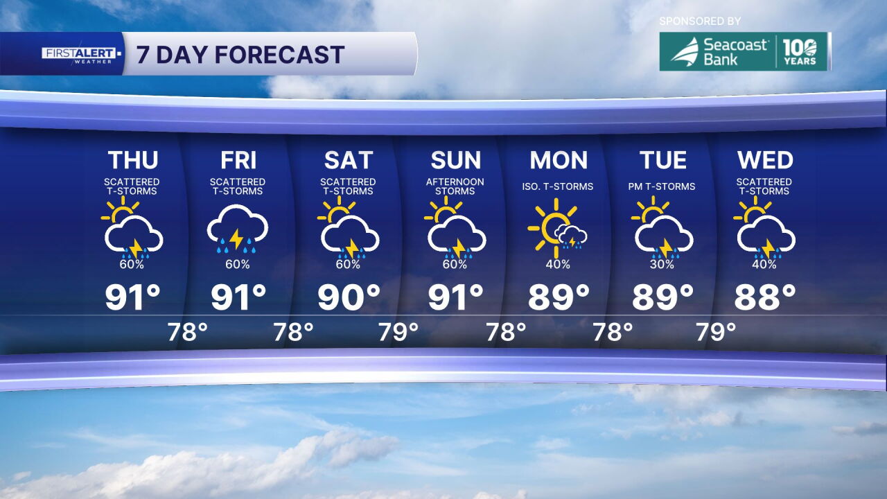
The wet-season pattern continues through the weekend. Friday brings another humid day with more clouds and sunshine, along with scattered to numerous afternoon thunderstorms that could produce locally heavy rainfall. Saturday may be somewhat cloudier with storms nearby, maintaining the hot and humid conditions. Sunday rounds out the weekend with more of the same – hot, humid weather and another round of afternoon thunderstorms.
Throughout this period, residents should expect a consistent mix of clouds, sunshine, and daily storm chances, particularly during afternoon and early evening hours when atmospheric instability peaks.
Portions of this story were assisted by artificial intelligence tools and reviewed by WPTV journalists to ensure accuracy, clarity, and adherence to editorial standards.
MORE WEATHER: Radar | Alerts | 7-Day Forecast | Hourly Forecast


