


WEST PALM BEACH, Fla. — Rain chances are increasing across the Treasure Coast and Palm Beaches as a weak front and several disturbances approach Florida. While the pattern will bring more clouds and scattered showers through the next several days, temperatures will remain warmer than normal for mid-March.
MORE WEATHER: Radar | Alerts | 7-Day Forecast | Hourly Forecast
Winds will shift to the south and southwest as a disturbance moves toward the Florida Peninsula, helping draw warmer and more humid air into the region. High temperatures will climb into the mid to upper 80s. The record high temperature in West Palm Beach is 90 set in 2022.
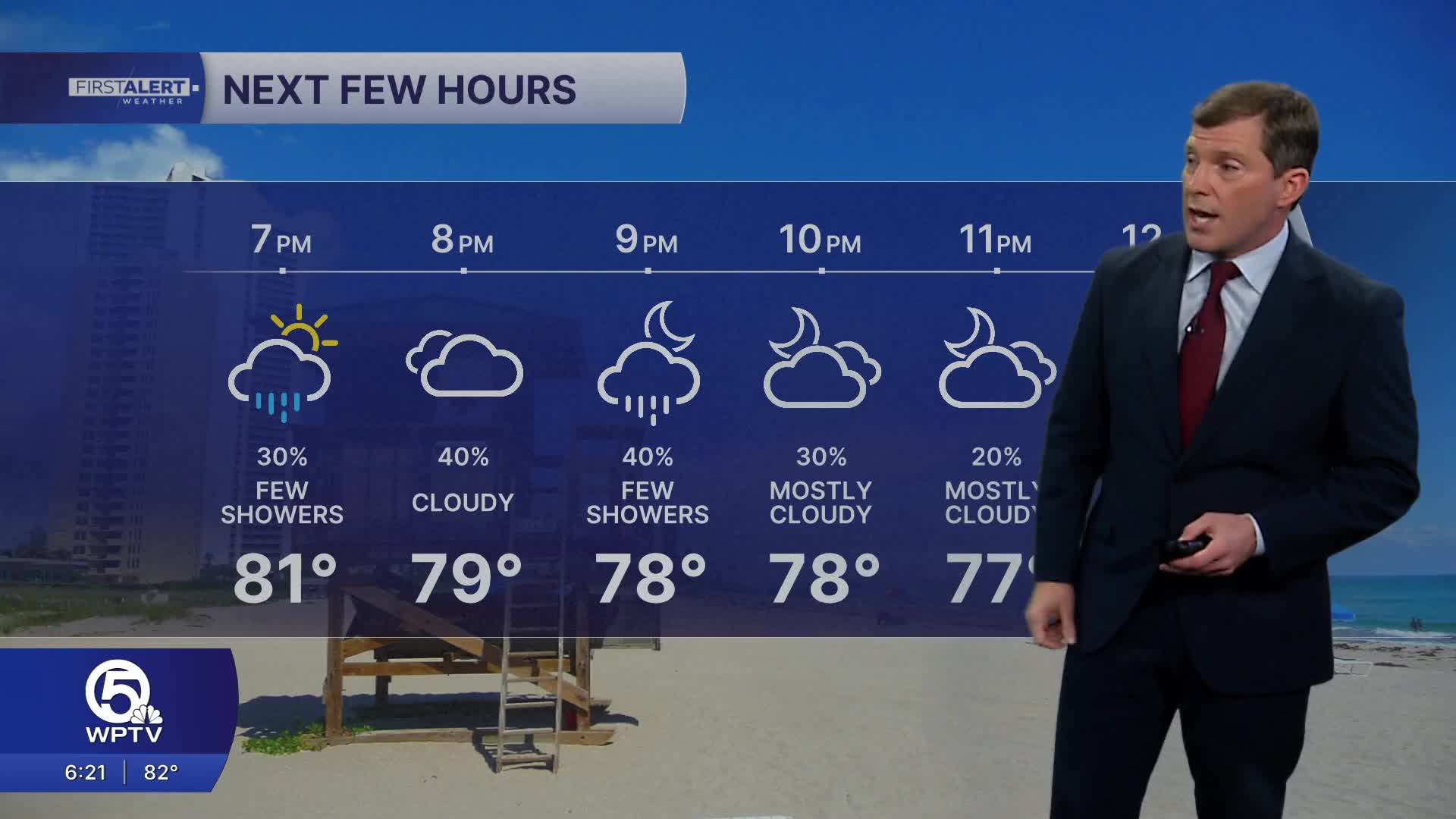
A few isolated showers may develop later in the afternoon or evening, but most locations will stay dry through much of the day.
By Friday, moisture increases across the region as the weak front slows and stalls near Lake Okeechobee. This will allow scattered showers and a few thunderstorms to develop, especially during the afternoon and early evening.
While lightning and brief downpours will be possible, the atmosphere will also contain some dry air aloft, which should limit storm intensity and reduce the risk of severe weather.
The unsettled pattern will continue into the weekend and early next week. The stalled front and lingering moisture will keep scattered showers and occasional thunderstorms in the forecast each day. Rainfall totals from Saturday through early next week could reach 1 to 2 inches in some areas, though the rain will likely come in rounds rather than steady, widespread soaking rainfall.
Temperatures will remain warm through the weekend, with afternoon highs generally in the low to mid 80s along the coast and upper 80s possible inland around Lake Okeechobee. Overnight lows will stay mild, mostly in the mid to upper 60s with around 70 degrees near the coast.
Looking ahead to the middle of next week, another front could approach the region, potentially bringing slightly cooler and drier air. If that front moves through, temperatures could fall back closer to normal with highs returning to the 70s.


