

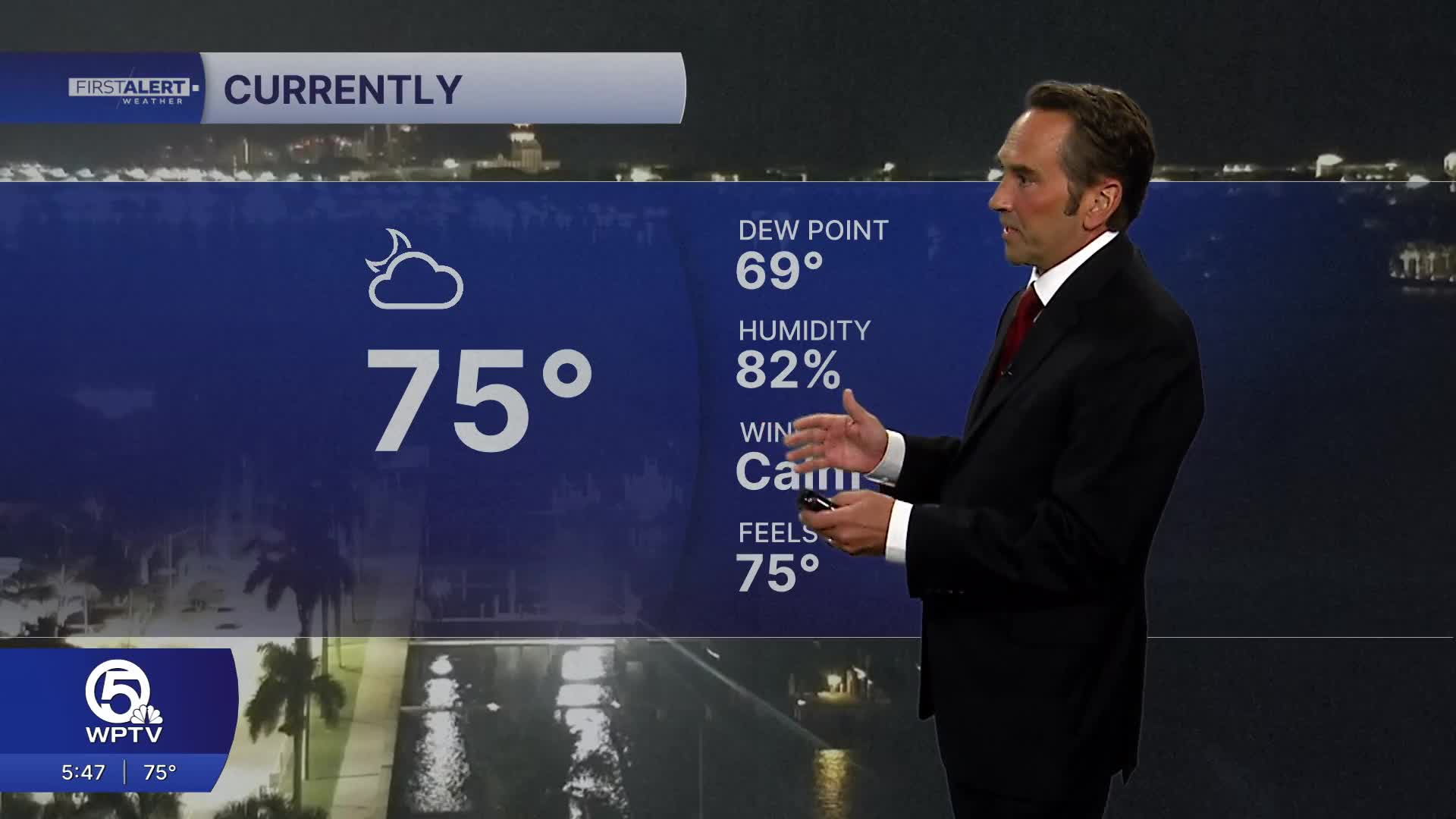


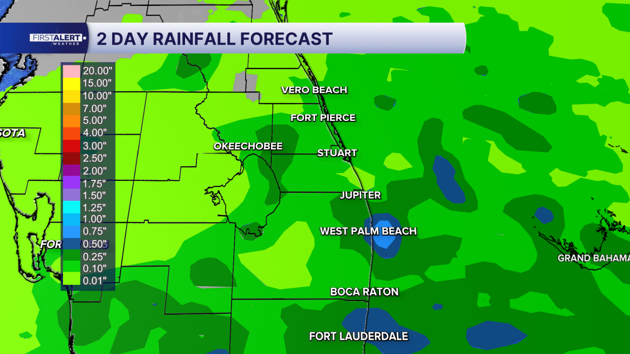
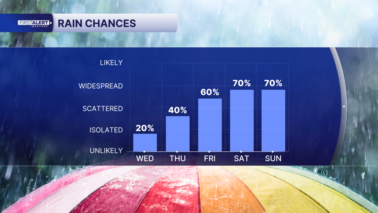
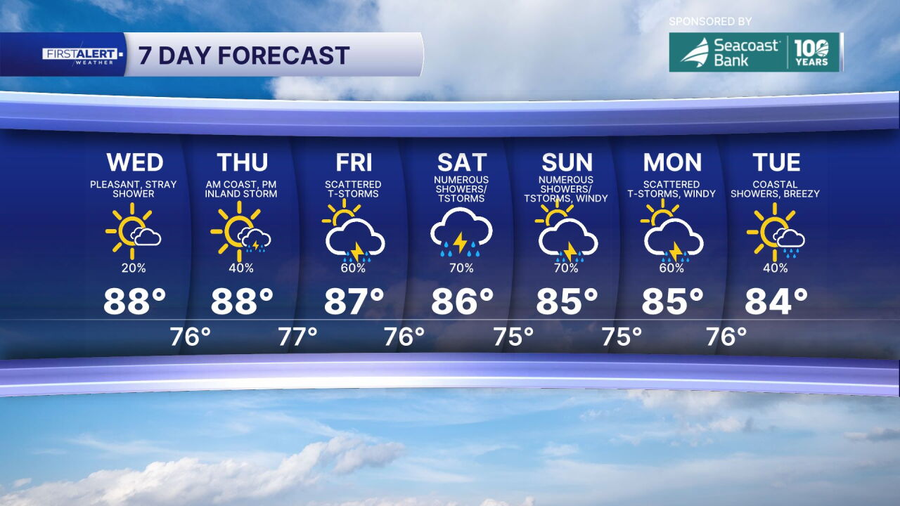
WEST PALM BEACH, Fla. — Rain chances are set to increase across the Treasure Coast and Palm Beaches after a stretch of quieter, less humid weather. As moisture returns and another front approaches, conditions will become more unsettled heading into Friday and the weekend, bringing more widespread showers and thunderstorms to the forecast.
Some storms could produce brief heavy downpours, gusty winds and localized flooding, especially in areas that see repeated rounds of rain. Temperatures will remain seasonable, with highs generally in the 80s, though a slightly cooler feel may arrive behind the front.
In addition to the return of wet weather, rougher beach and boating conditions are expected this weekend. Northeasterly winds are forecast to strengthen, creating hazardous surf and increasingly dangerous marine conditions. Seas could build to 10 to 13 feet offshore in parts of the local Atlantic waters, with rough conditions potentially lingering into early next week.
Beachgoers should closely monitor warning flags and follow lifeguard guidance. Even during breaks in the rain, powerful currents and rough surf could make swimming dangerous. Boaters are encouraged to check the latest marine forecast before heading onto the water.
The bottom line: Enjoy the quieter weather while it lasts. Rain and thunderstorms become more likely this weekend, followed by a period of rough surf, dangerous rip currents and hazardous boating conditions along the Atlantic coast into next week.
MORE WEATHER: Radar | Alerts | 7-Day Forecast | Hourly Forecast
Portions of this story were assisted by artificial intelligence tools and reviewed by WPTV journalists to ensure accuracy, clarity and adherence to editorial standards.


