

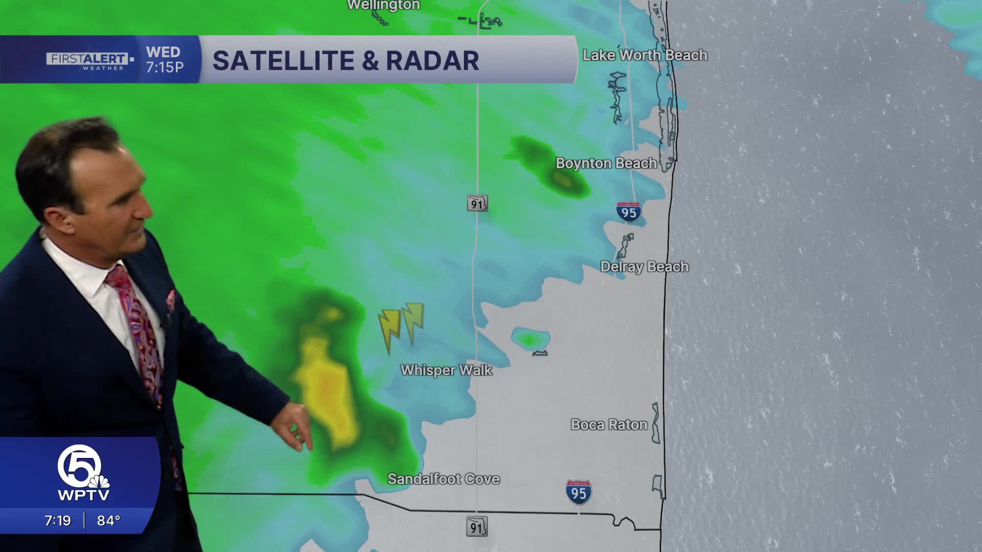


WEST PALM BEACH, Fla. — An active afternoon of showers and thunderstorms is winding down across the Treasure Coast and Palm Beach County, but rain chances are not going away overnight.
Waves of moisture moving onshore with an increasing onshore wind will keep off-and-on showers possible overnight and into Friday morning. Another wave could move in before sunrise, potentially slowing the morning commute.

Thursday's storm activity was focused in several areas:
- Morning showers developed along the coast and in South County.
- Storms fired up around Blue Cypress Lake in western Indian River County, with heavy rain near Fellsmere and along the Vero Beach corridor near the State Road 60 exit.
- Saint Lucie County saw storms in the western part of the county before conditions calmed.
- Martin County picked up heavy rain, with a flood advisory issued for the western part of the county.
- Palm Beach County saw a couple of showers, including one in West Boca and a quick storm in Boynton Beach.
Additional moisture well offshore and into the Bahamas will continue to fuel rain chances heading into Friday.
Temperatures dropped into the 80s Thursday afternoon and will fall to the mid to upper 70s overnight. Friday will top out in the upper 80s again due to continued off-and-on rain, though some sunshine is expected and conditions will be a bit breezier.

A tropical wave moving through Friday will keep rain in the forecast, with its main focus to the north. After it passes, a shift to a more southeasterly flow is expected. Saturday could still see some active weather before drier air moves in for Sunday and into early next week.
The tropical wave is not expected to develop, keeping conditions relatively quiet locally.
Seas will get a little choppy Friday before calming over the weekend. Once clouds clear and more sunshine returns, temperatures will climb back to the low 90s early next week.
The active weather Thursday afternoon may also set up for a notable sunset, with time-lapse imagery capturing the waves of moisture moving offshore through the evening hours.
MORE WEATHER: Radar | Alerts | 7-Day Forecast | Hourly Forecast
**Portions of this story were assisted by artificial intelligence tools and reviewed by a WPTV journalist to ensure accuracy, clarity, and adherence to editorial standards.


