


WEST PALM BEACH, Fla. — Wednesday brings one more relatively quiet weather day across the Treasure Coast and Palm Beaches before a much wetter pattern develops later this week.
Persistent southeast winds continue across the region as high pressure remains anchored offshore. This keeps the east coast sea breeze pushing inland once again Wednesday afternoon, focusing the highest storm coverage well inland and west of I-95.
Most coastal communities including Sebastian, Vero Beach, Fort Pierce, Stuart, Jupiter, West Palm Beach, and Boca Raton should remain mainly dry through much of the daytime hours outside of a few isolated passing showers near the coast.
Rain chances Wednesday:
Coast: 20–30%
Inland: 40–60%
MORE WEATHER: Radar | Alerts | 7-Day Forecast | Hourly Forecast
The biggest concern Wednesday remains the dangerous surf conditions. A high risk of life-threatening rip currents continues at Atlantic beaches, and entering the water is strongly discouraged. Rough surf and strong onshore winds continue along the Treasure Coast and Palm Beaches through at least Wednesday.
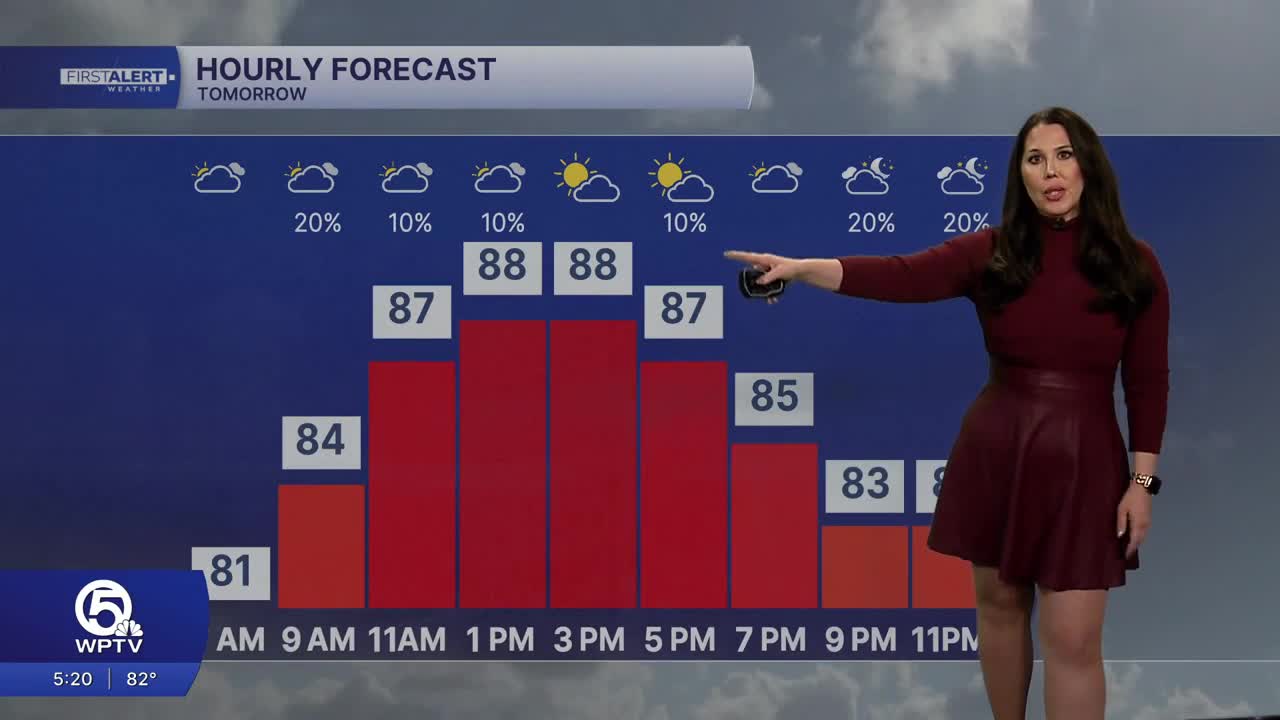
Temperatures Wednesday climb into the upper 80s and low 90s with heat index values pushing into the upper 90s and near 100 degrees.
The weather pattern changes significantly beginning tomorrow as deeper tropical moisture surges northward into our area.
Rain and storm coverage will rapidly increase late this week with:
- Widespread showers and thunderstorms
- Heavy downpours
- Localized flooding concerns
- Daily rain chances approaching 70–80%
Forecast confidence continues increasing that late week and weekend could become considerably wetter across the Treasure Coast and Palm Beaches. Some forecast guidance is already pointing towards repeated rounds of heavy rainfall and the potential for localized flooding in some areas.
We will be above average for rainfall heading into the next 10 days.
-Meteorologist Skylar Spinler


