

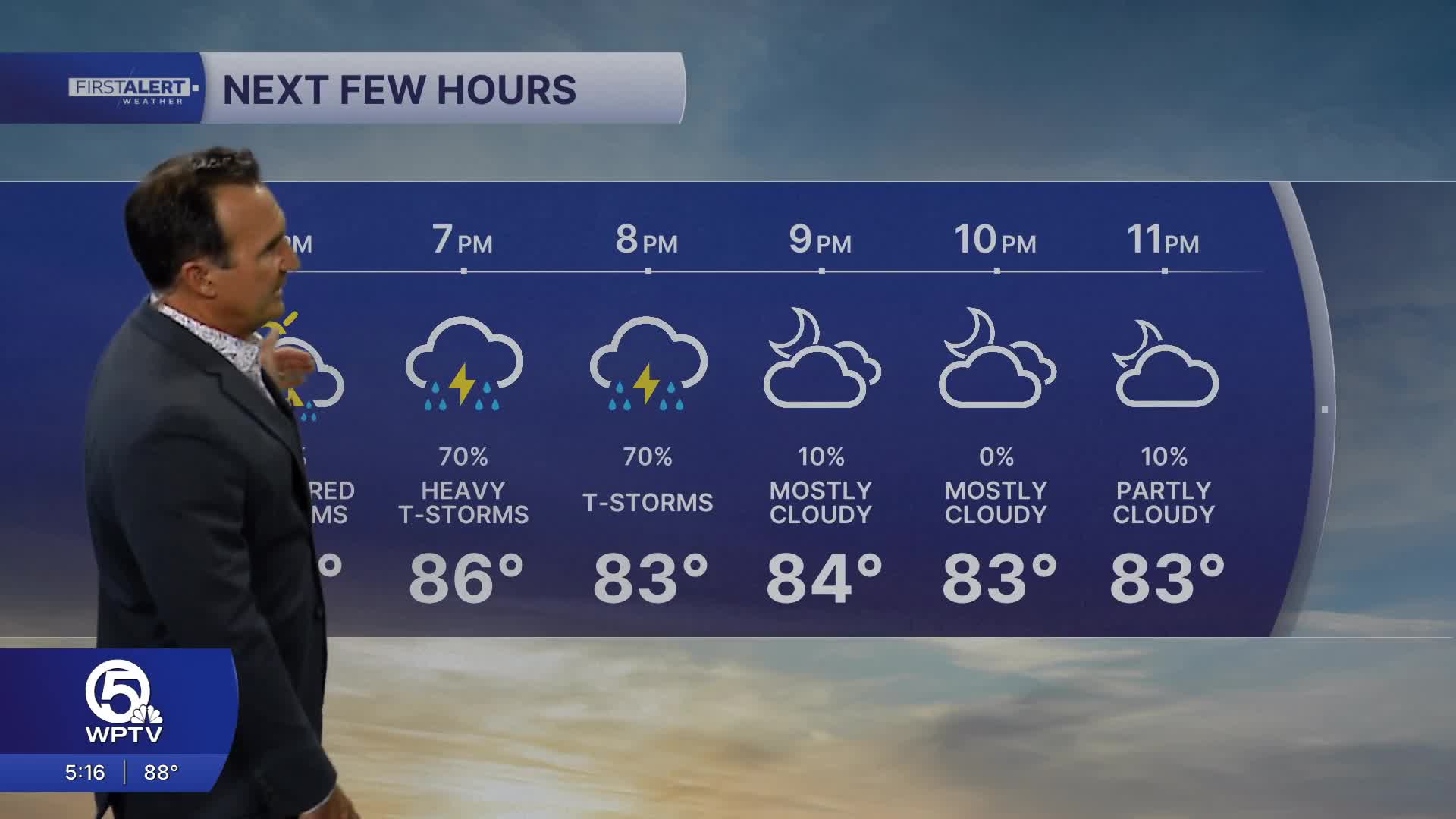


WEST PALM BEACH, Fla. — This weekend is shaping up to be a scorcher with some storms. Temperatures will soar into the lower to mid-90s, but the humidity will make it feel like 105 degrees or hotter during the afternoon. Strong thunderstorms are expected to roll through, which could bring heavy wind and rain and possible flooding.
MORE WEATHER: Radar | Alerts | 7-Day Forecast | Hourly Forecast
Friday starts warm and sticky with a mix of sun and clouds. As temperatures climb into the 90s, the heat index could hit 105 degrees in some areas – hot enough to trigger a Heat Advisory. If you have outdoor plans, try to stay inside during the hottest afternoon hours.
Thunderstorms will fire up in the afternoon, and some could turn severe. The strongest storms may bring frequent lightning strikes, torrential rain, gusty winds, and flooding in low-lying areas. Storms should taper off by evening, but it'll stay hot and muggy all night.
This weekend's forecast calls for scorching heat combined with frequent thunderstorms. Even when the sun is shining, the humidity will make it feel above 100 degrees, and storms can develop quickly – meaning conditions can go from sunny to dangerous in minutes.
People across the Treasure Coast and Palm Beaches should prepare for strong storms, especially during afternoon and early evening hours. Keep your weekend plans flexible, make sure you can get weather alerts, and head indoors immediately when you hear thunder.
**Portions of this story were assisted by artificial intelligence tools and reviewed by WPTV journalists to ensure accuracy, clarity, and adherence to editorial standards.


