
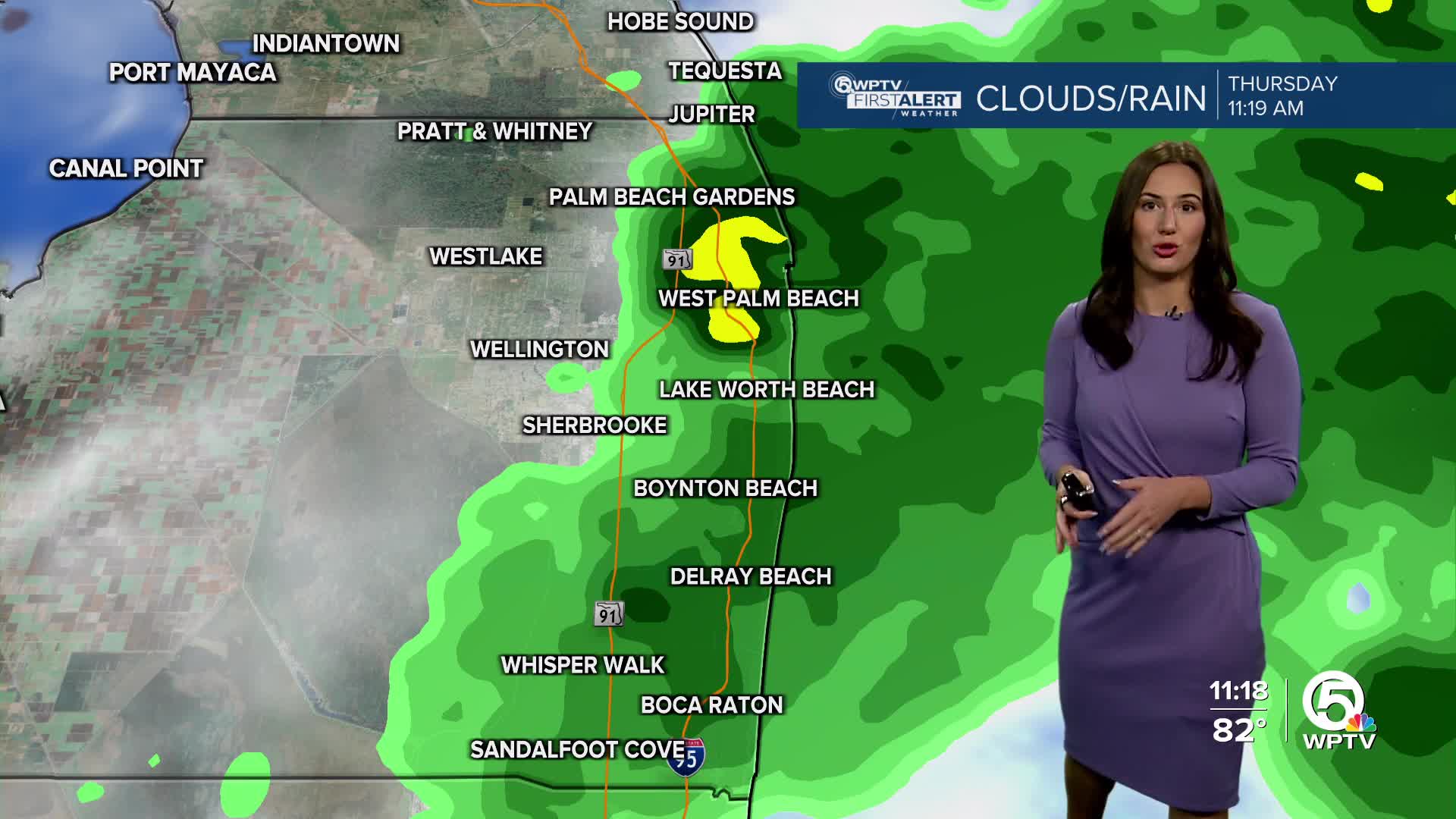


WEST PALM BEACH, Fla. — A stalled out frontal boundary and an upper level disturbance have been responsible for our cloudy, damp weather recently.
MORE WEATHER: Radar | Alerts | 7-Day Forecast | Hourly Forecast
Even though humidity levels are down slightly this week, overall, the atmosphere remains very tropical.
So with these two features still fairly close by, another round of downpours and thunderstorms are likely during the day on Friday.
The good news is the weekend looks much better. It'll be hot out there and muggy, but the threat for thunderstorms diminishes.
BEACH FORECAST
The Treasure Coast will continue to see a high risk for rip currents through Friday morning. Otherwise, it's a decent day with sunshine occasionally giving way to a pop up shower or thunderstorm.
BOATING CONDITIONS
Northerly winds of 10-15 knots will continue to produce bumpy conditions on the water. Expected seas of 2-3 feet. If you're crossing over the Gulf Steam into the Bahamas it could be a little bumpy from time to time. Especially if you're leaving from the Treasure Coast. Conditions are a little smoother the farther south you go through coastal Palm Beach County.
7-DAY FORECAST
Friday: Mostly sunny, very warm and humid. Pop up showers and thunderstorms are likely at times. High 87
Saturday: Mostly sunny, hot and humid. A pop up afternoon thunderstorm is possible. High 89. Heat Index 95.
Sunday: Mostly sunny, hot and humid with a spotty thunderstorm. High 89. Heat Index 95.
Monday: Hot and humid with an afternoon thunderstorm in spots. High 90.
Tuesday: Some sun, especially early in the day. Scattered afternoon thunderstorms likely. High 90.
Wednesday: Mostly sunny to start. Afternoon showers and thunderstorms likely. High 90.
Thursday: Hot and humid. Scattered afternoon thunderstorms. High 90.


