



WEST PALM BEACH, Fla. — A much wetter weather pattern is moving into the Treasure Coast and Palm Beaches, bringing more frequent showers and thunderstorms — including some heavy downpours which could cause flooding.
Tonight may have more downpours, lows in the mid-upper 70s and increasing humidity.
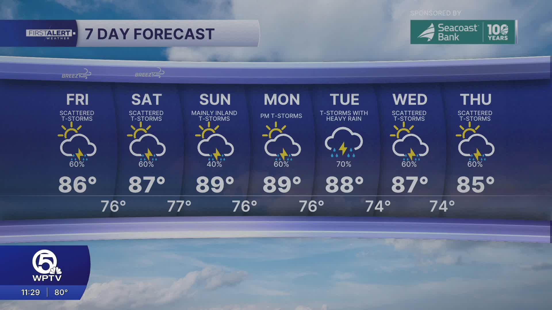
Friday is shaping up to be another wet one. Increasing tropical moisture will fuel more widespread showers and storms, so you'll want to have backup plans for any outdoor activities. Locally heavy rainfall is possible.
MORE WEATHER: Radar | Alerts | 7-Day Forecast | Hourly Forecast
This weekend, rain chances will stay high, though you'll still see some breaks of sunshine. Saturday looks unsettled with scattered showers and storms. Sunday might offer longer stretches of dry weather between the rain.
Despite the wet weather, temperatures will stay warm — generally in the mid-to-upper 80s along the coast. The clouds and rain will occasionally keep afternoon temperatures from climbing too high, but it's going to remain very humid throughout this period.
Portions of this story were assisted by artificial intelligence tools and reviewed by WPTV journalists to ensure accuracy, clarity, and adherence to editorial standards.


