


WEST PALM BEACH, Fla. — A warming trend is underway across South Florida, but beachgoers will need to stay alert as a growing rip current threat develops along the Atlantic coast.
High pressure dominating the region will keep conditions mostly dry while allowing temperatures to climb steadily through the workweek.
With lighter winds overnight, fog is expected to develop in Southwest Florida and could expand around Lake O and the Treasure Coast during the early morning hours. Any fog that forms could impact the early morning commute with brief reductions in visibility.
Lows will fall into the upper 50s inland and in the Treasure Coast with the Palm Beaches in the mid 60s. The next few days stay warm, mostly sunny, and dry.
Persistent easterly swell and strengthening onshore flow will create hazardous surf conditions. A high risk of rip currents will begin building along the Palm Beaches on Wednesday and will gradually spread southward over the next couple of days. Even experienced swimmers can be pulled offshore in these currents.
MORE WEATHER: Radar | Alerts | 7-Day Forecast | Hourly Forecast
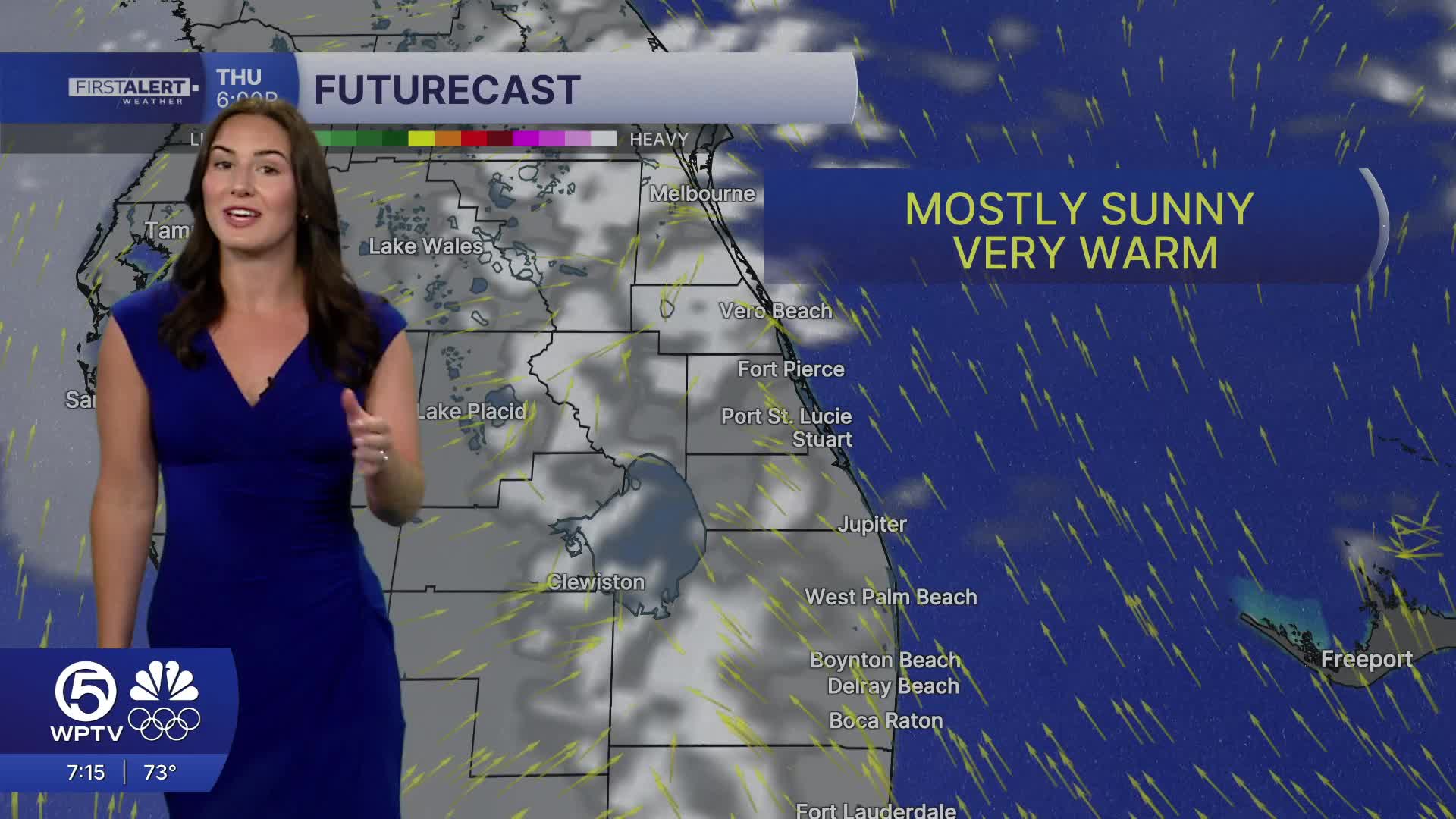
From Thursday through Saturday, widespread mid to upper 80s are expected, and a few inland spots could even flirt with 90 degrees this weekend. These very warm temperatures will near record highs on Saturday.
Forecast models continue to confirm the next cold front arriving Sunday. Along with breezy conditions ahead of the front, rain chances are expected to increase later in the day. Unfortunately, rain totals look very low with most areas forecast to recieve near .1 inch of rain.
Behind the front, a big cooldown is expected early next week, with lows dropping into the 40s during the early mornings. Monday's high temperatures will be limited to the middle 60s.


