
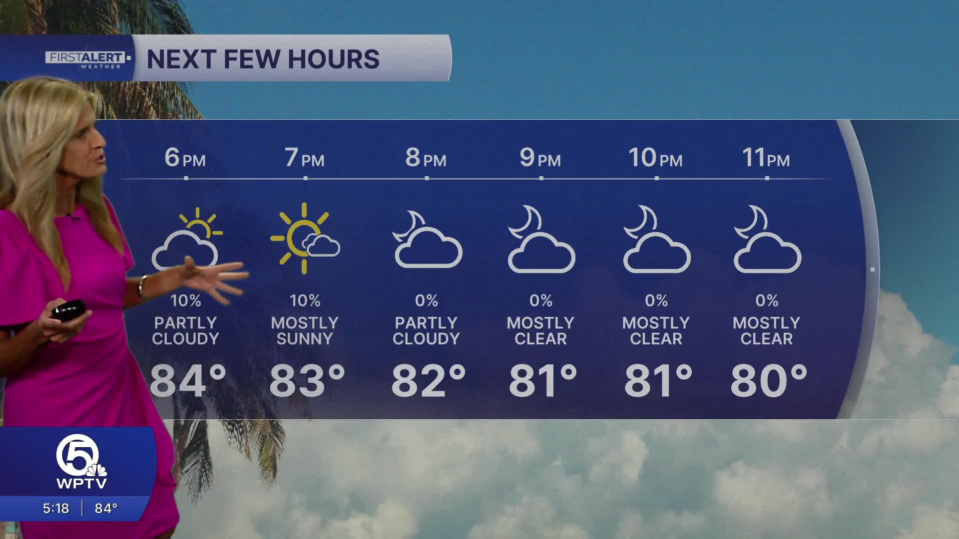


WEST PALM BEACH, Fla. — Drier air has helped keep storms limited on Thursday - and will continue to keep rain chances minimal on Friday and Saturday too.
We'll get slightly cooler air overnight into Friday morning, with temperatures dropping down into the high 60s on the Treasure Coast and low-mid 70s in the Palm Beaches.
MORE WEATHER: Radar | Alerts | 7-Day Forecast | Hourly Forecast
It will stay mostly to partly sunny with only isolated rain chances the next few days. Each day will be a few degrees above average, as highs reach the upper 80s and inland spots near 90. With dewpoints in the 70s - our feel like temps will be in the 90s to near 100 degrees.
Looking ahead to the Sunday and early next week, South Florida returns to a more familiar summertime pattern.

We're getting a moisture surge on Sunday, bumping rain chances up to 40% through early next week. High pressure building over the Gulf and Atlantic will keep a steady easterly breeze in place, fueling scattered afternoon and evening thunderstorms — especially inland and across the west coast of Florida.
Highs for the next week are staying steady in the upper 80s, staying slightly above average for this time of year.


