



WEST PALM BEACH, Fla. — Halloween weekend is bringing some changes to our weather across the Treasure Coast and Palm Beaches. Enjoy the better conditions early in the weekend, but keep an eye on the forecast as showers and storms become more likely by Sunday.
FRIDAY – HALLOWEEN EVE
A mix of sunshine and clouds with warm, humid conditions. A few showers are possible, but much of the day should be manageable for outdoor activities. Temperatures climb into the upper 80s.
SATURDAY – HALLOWEEN
Saturday starts out warm, but conditions could become increasingly unsettled later in the day. Showers and storms will develop, especially during the late evening. If you're heading to Halloween events, keep an eye on WPTV First Alert Weather for updates.
DANGEROUS BEACHES & BOATING
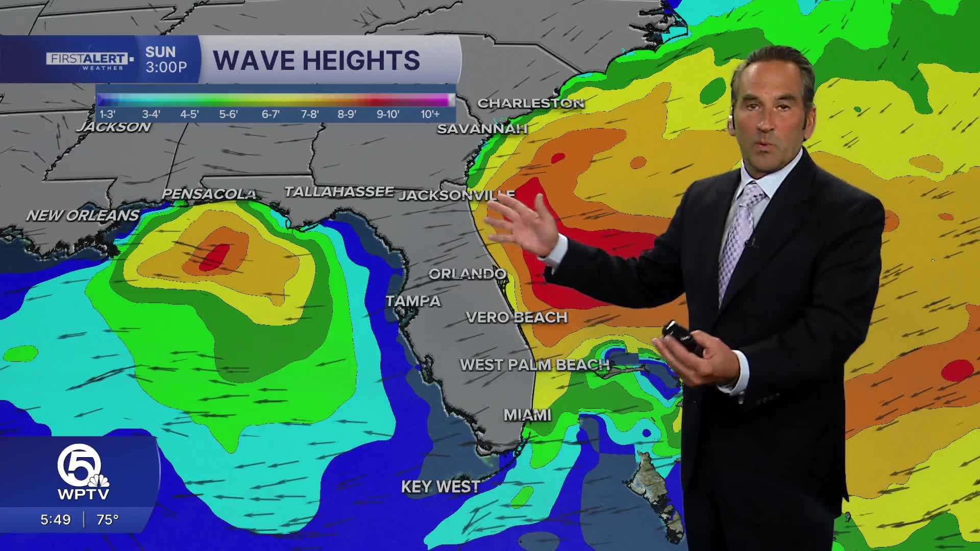
This is the biggest concern heading into the weekend. Strong easterly winds will keep ocean conditions rough, with waves building to 6–10 feet offshore late Saturday into Sunday. Life-threatening rip currents are expected along the beaches. Small Craft Advisories are in effect, and boaters should strongly consider staying off the water. Coastal flooding and beach erosion remain concerns, especially around high tide. Stay out of the ocean this weekend.
SUNDAY – A STORMY TURN
Sunday looks like the wettest day of the weekend. Widespread showers and thunderstorms are expected, with periods of heavy rain, gusty winds and localized flooding possible. Rainfall totals of 1–3 inches are possible, with locally higher amounts. Highs will be in the lower 80s.
FALL BACK – STANDARD TIME
Don't forget! Daylight Saving Time ends early Sunday morning, November 1. Set your clocks back one hour before bed Saturday night. We'll gain an extra hour of sleep, but sunsets will come earlier, with sunset around 5:37 PM in West Palm Beach.
**Portions of this story were assisted by artificial intelligence tools and reviewed by a WPTV journalists to ensure accuracy, clarity, and adherence to editorial standards.
MORE WEATHER: Radar | Alerts | 7-Day Forecast | Hourly Forecast


