

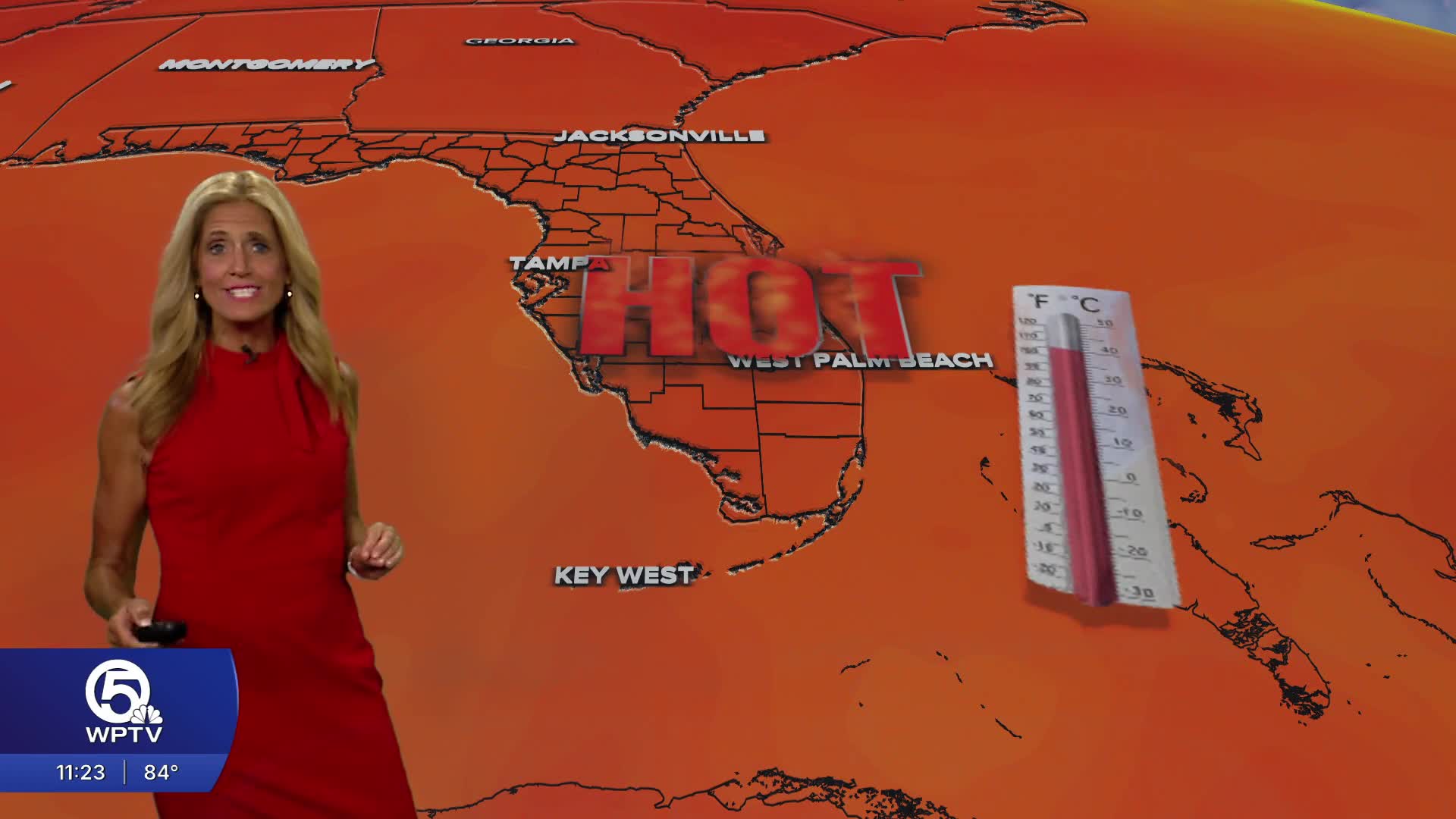


WEST PALM BEACH, Fla. — Heat will be our main weather concern this week as temps warm into the mid 90s with heat indices topping the triple digits.
High pressure in the western Atlantic will continue southeast winds across the area Monday, helping to push storms inland.
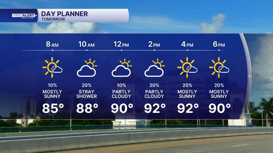
Many coastal neighborhoods will stay dry on Monday, allowing temperatures to climb into the lower and mid 90s. With humidity remaining high, it'll feel more like 100 to 110 degrees, so limit strenuous outdoor activity during the hottest part of the day and stay hydrated.
If you're heading to the beach, the weather may look inviting, but the surf remains dangerous. Persistent onshore winds continue to create a moderate - high risk of rip currents along Atlantic beaches. Swim only near lifeguards and never enter the water alone.
MORE WEATHER: Radar | Alerts | 7-Day Forecast | Hourly Forecast
A Saharan air layer will be keeping our mid-levels of the atmosphere dry through the workweek as the drier pattern continues.
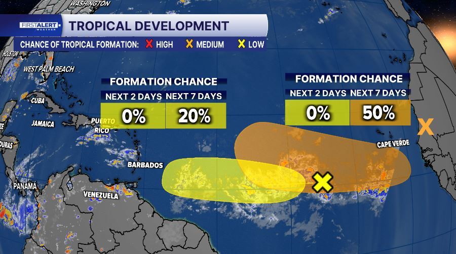
The Atlantic remains active, but there are no immediate threats to Florida. The National Hurricane Center is monitoring three areas in the tropics: one in the central Atlantic with a low, 20% (yellow) chance of development over the next seven days, another expected to move off the coast of Africa early this week with a 50% (orange) chance of development, and a trough located a few hundred miles WNW of Bermuda with a 10%(yellow) chance of development. The first two systems will continue moving west across the open Atlantic, and we'll be tracking them closely. The trough in the western Atlantic is expected to dissipate as it moves into an environment of cooler waters.


