



WEST PALM BEACH, Fla. — Tonight, clearing skies. It'll stay uncomfortably warm and sticky overnight, with temperatures only dropping to the mid-upper 70s to low 80s. Be sure to catch the full Stutrgeon moon lunar eclipse tonight. It will peak at 12:12am.
MORE WEATHER: Radar | Alerts | 7-Day Forecast | Hourly Forecast
Tomorrow brings a slight downward trend in the rain, as a band of dry air moves through. Expect some sunshine mixed with building clouds and still a few afternoon thunderstorms. Temperatures will hit around 90 to low 90s, but it'll feel closer to 100+ degrees in some spots due to the humidity.
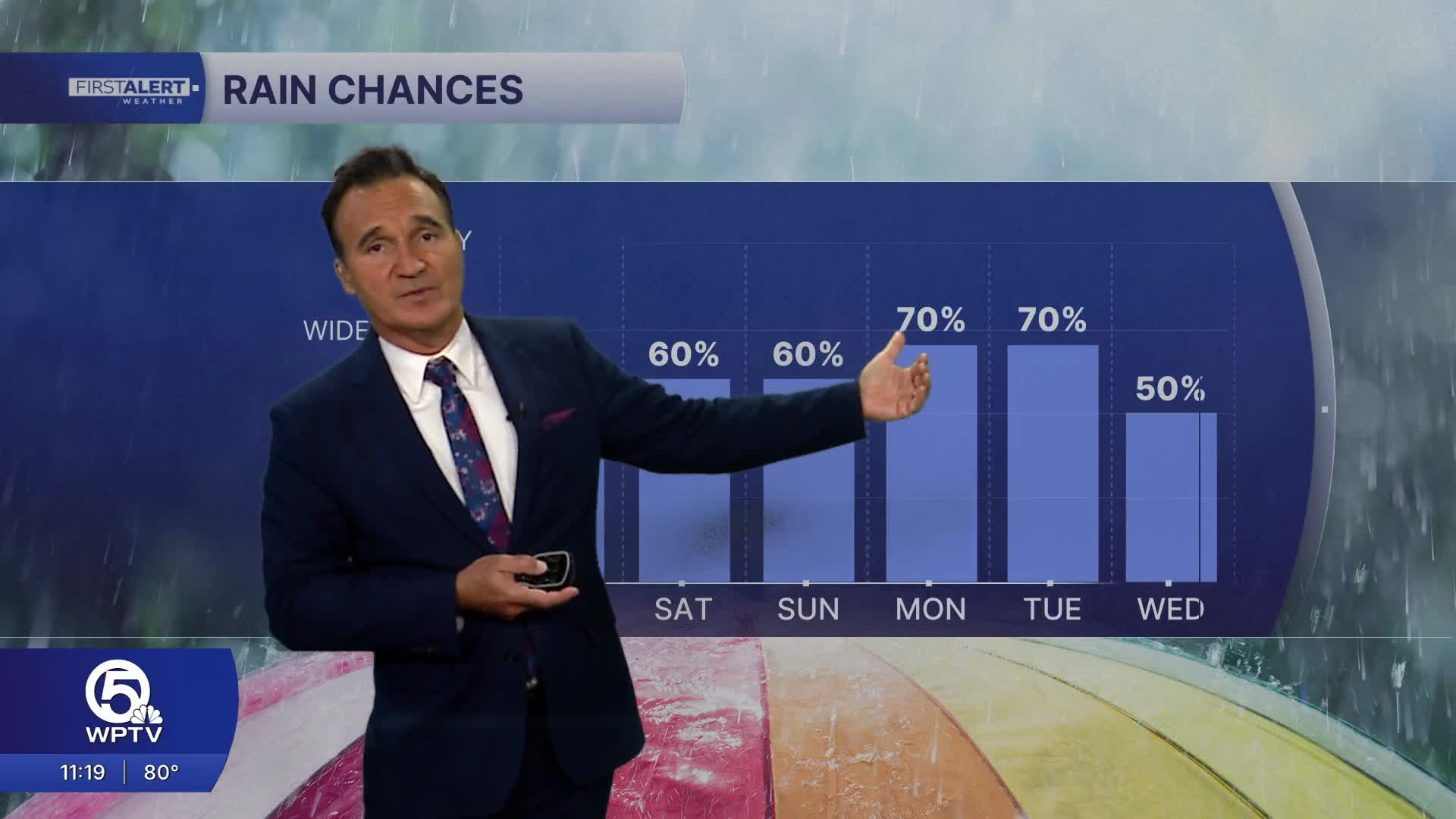
This weekend, the wet weather pattern will ramp up again. Both Saturday and Sunday will see frequent showers and thunderstorms throughout the day. Some areas might get hit with multiple rounds of rain, which could lead to localized street flooding in spots that see repeated heavy storms. While the rain and clouds might occasionally keep temperatures slightly cooler, it'll still feel very humid and summery.
**Portions of this story were assisted by artificial intelligence tools and reviewed by WPTV journalists to ensure accuracy, clarity, and adherence to editorial standards.


